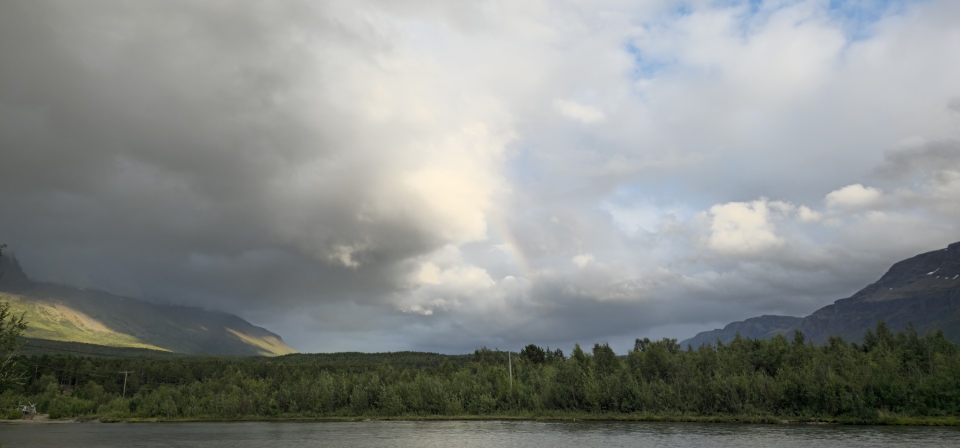
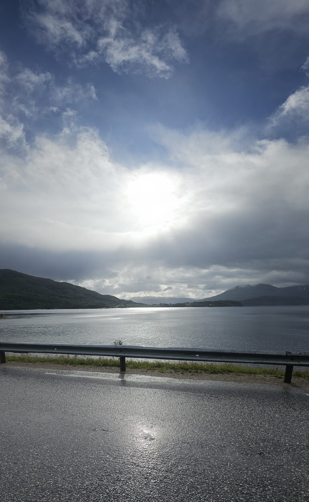
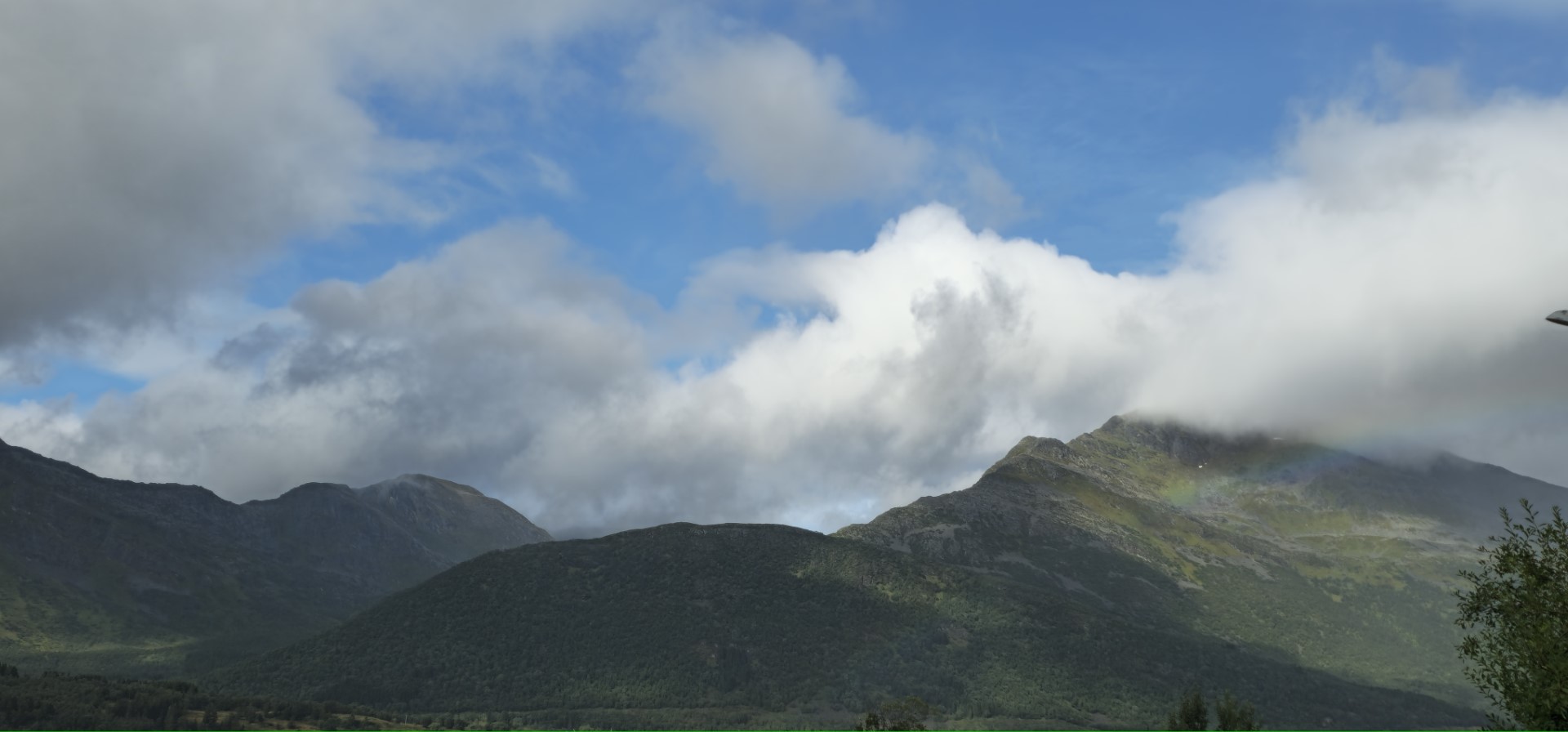
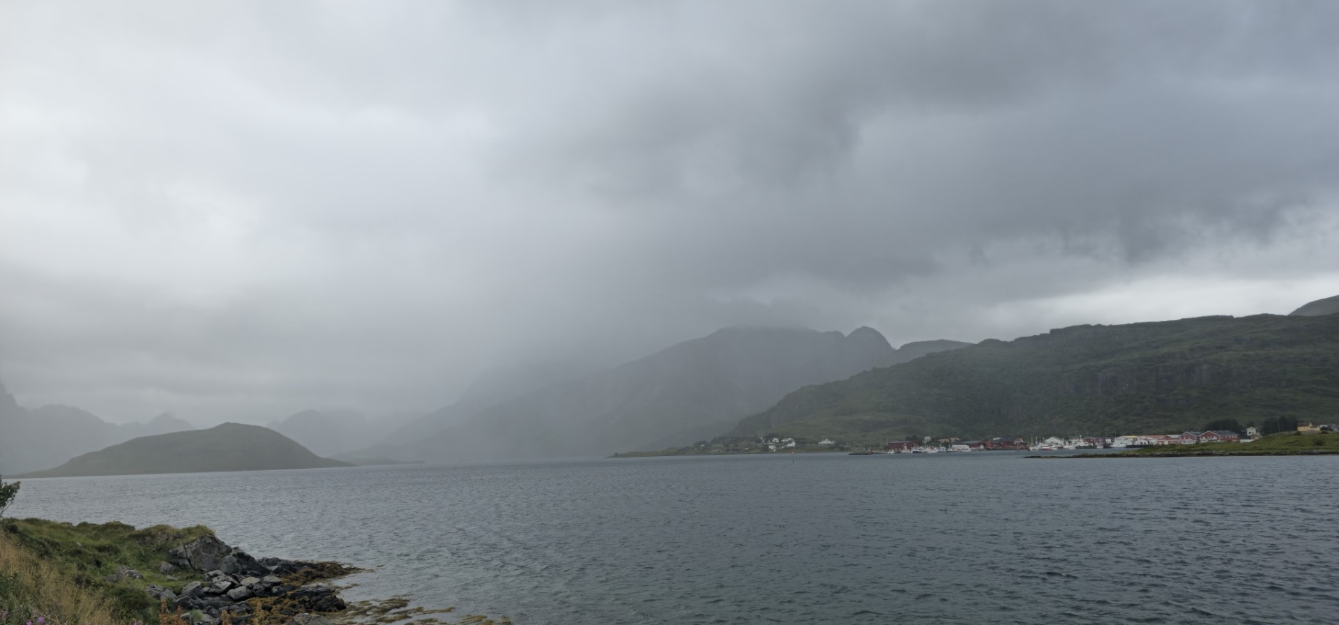
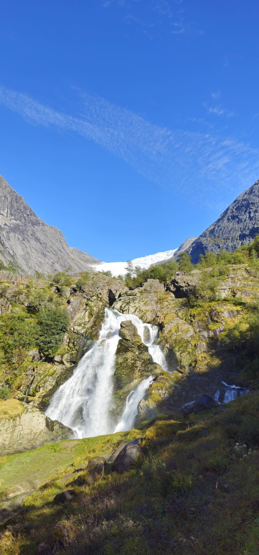
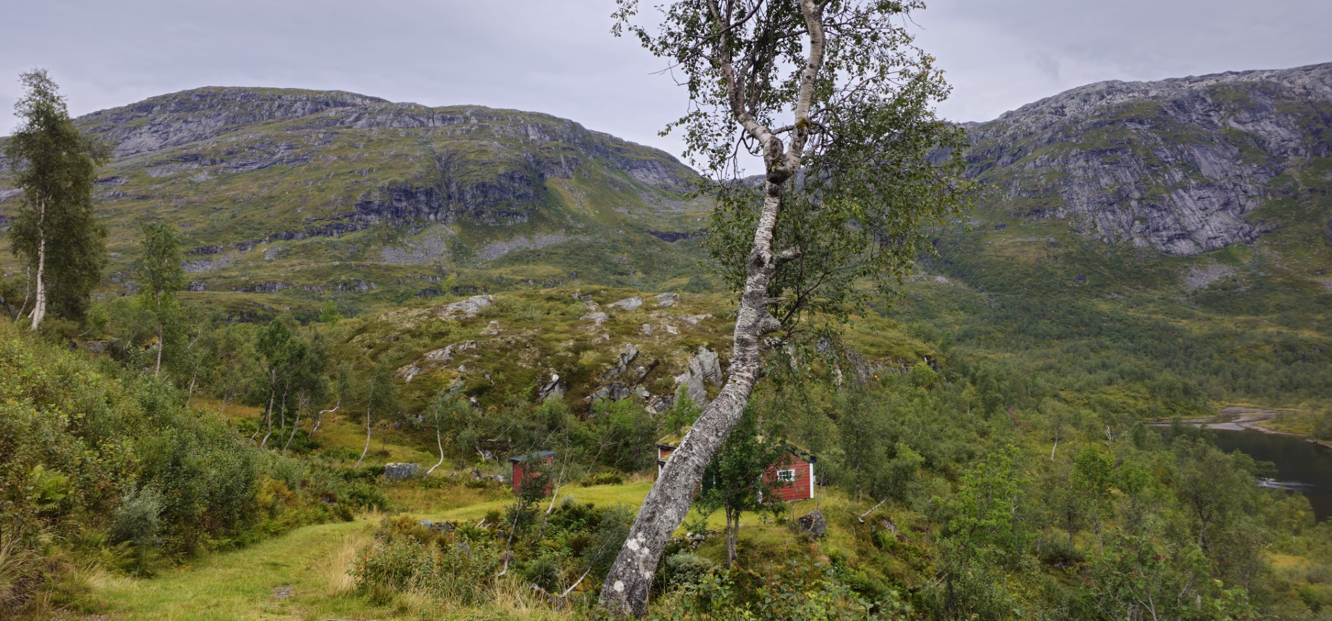
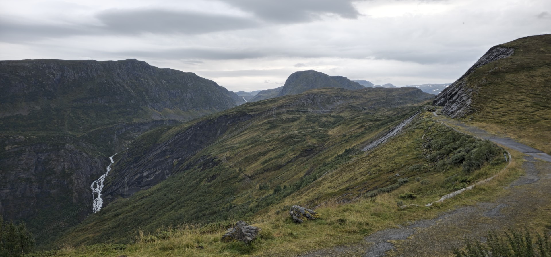
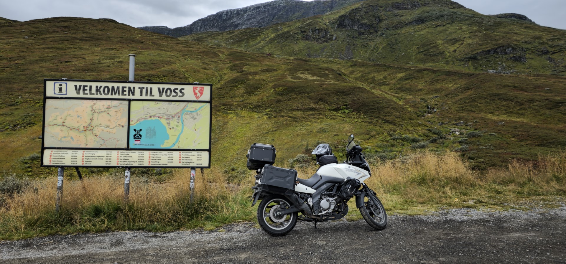
Motorcycle tour Scandinavia 2025-08

!!! This page is currently under construction !!!

This page is made as a small holiday report as future reminiscence for myself.
So, don’t expect a professional blog nor professional pictures and video. It’s just made out of hobby, nothing more nothing less.
If by chance you want to contact me, please go to the contact page and I will reply as soon as possible if a reply is wanted.

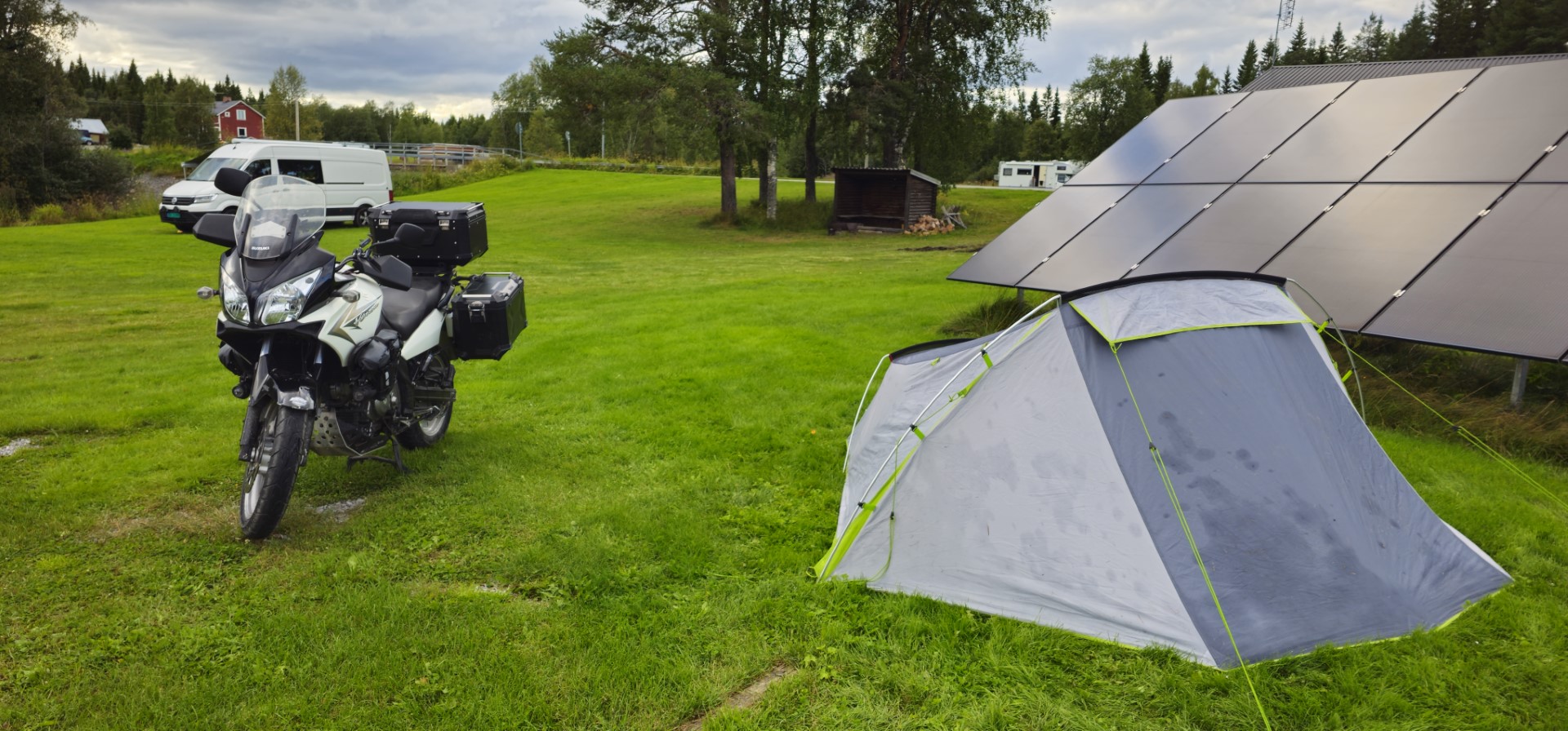
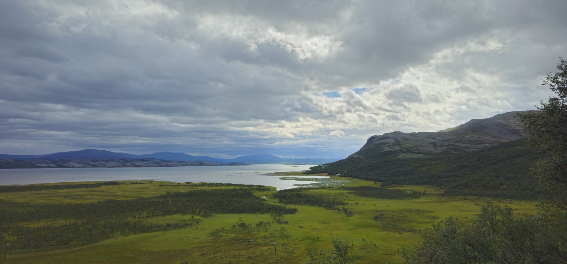
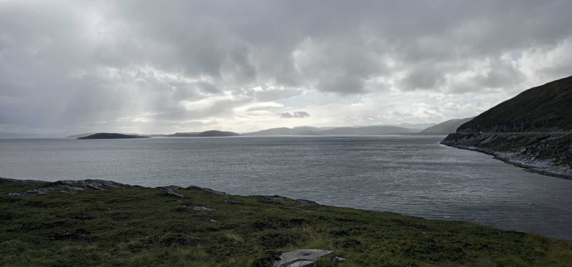
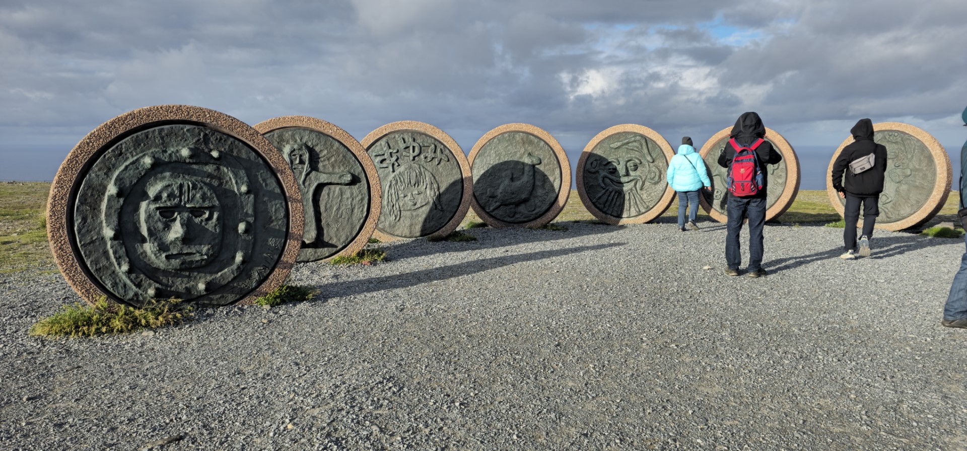
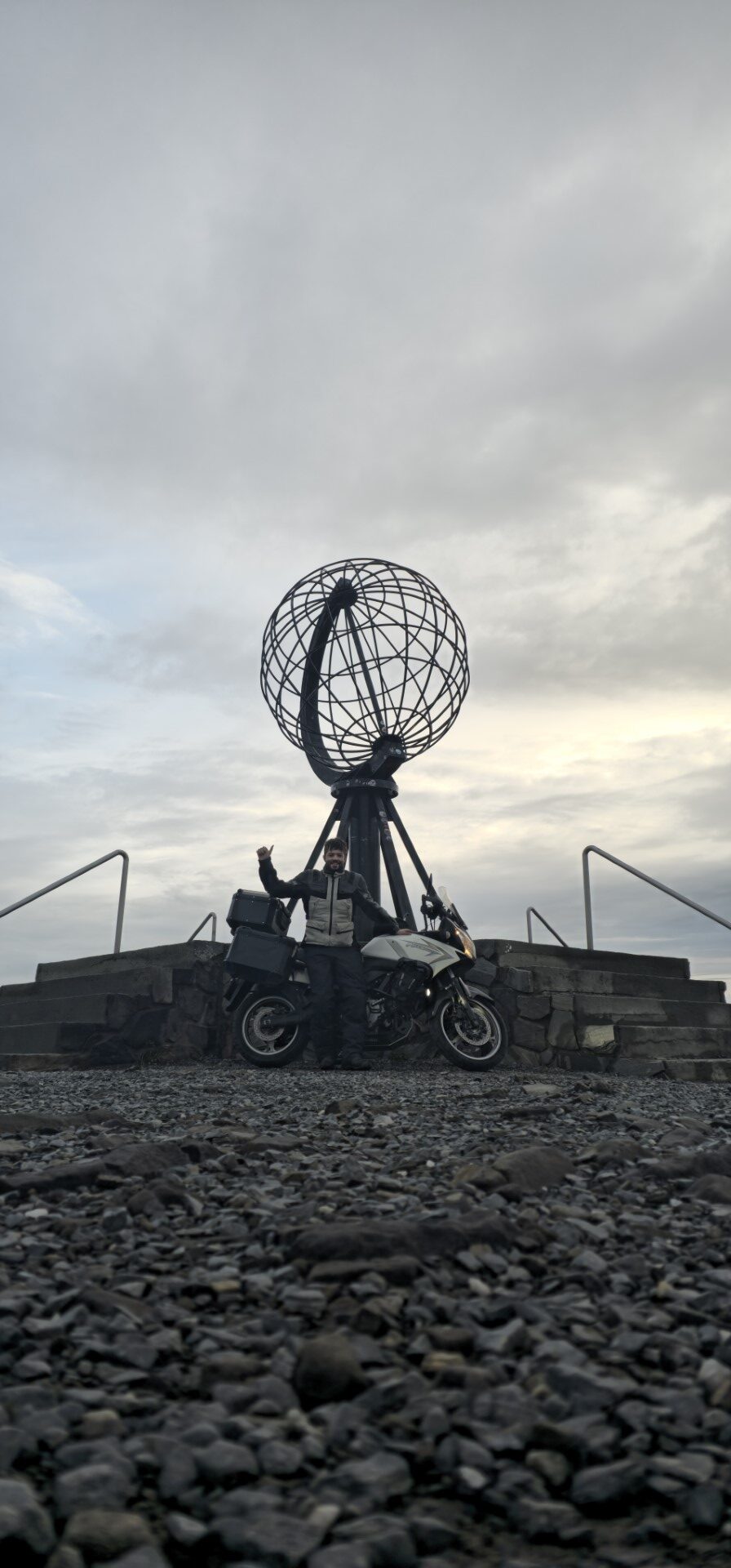
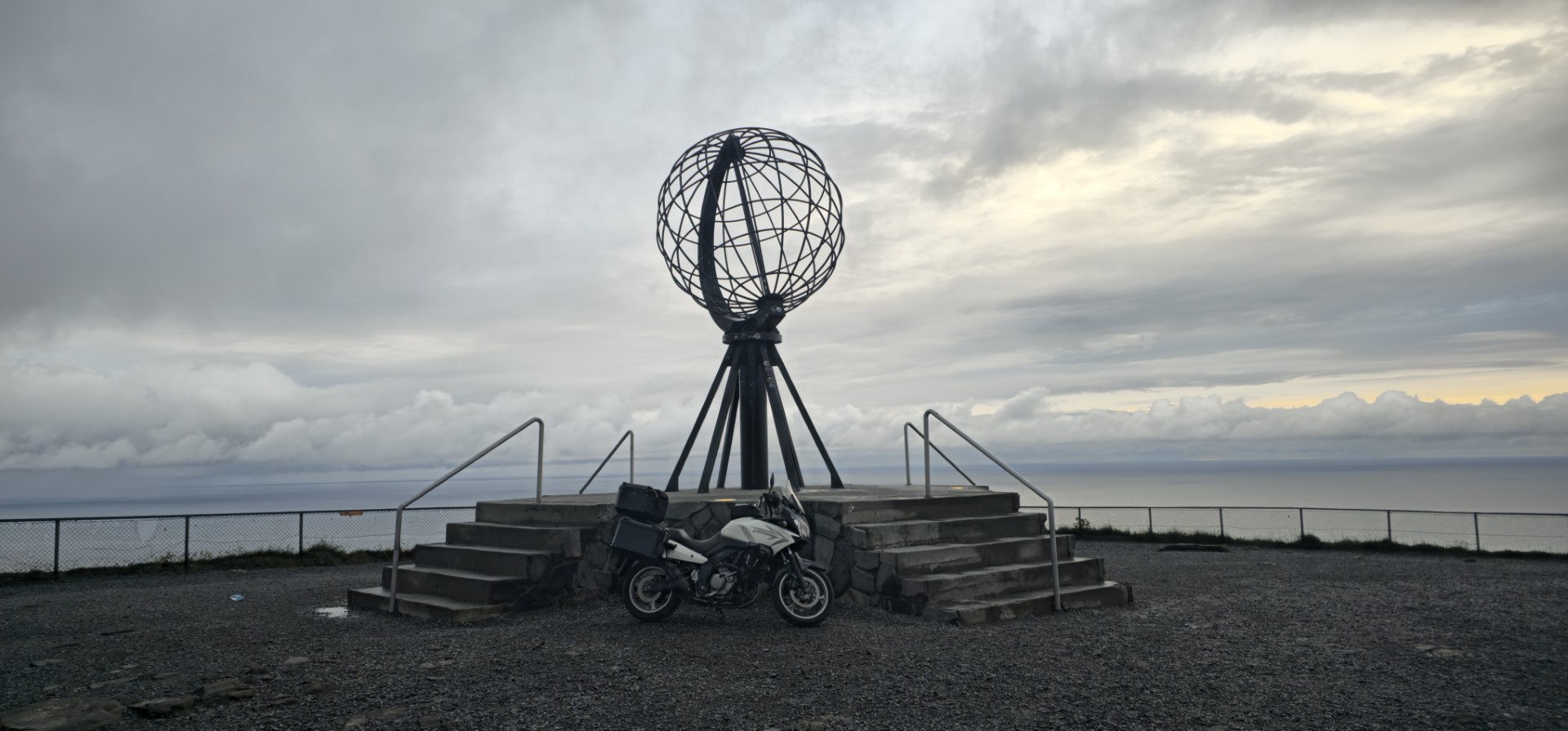
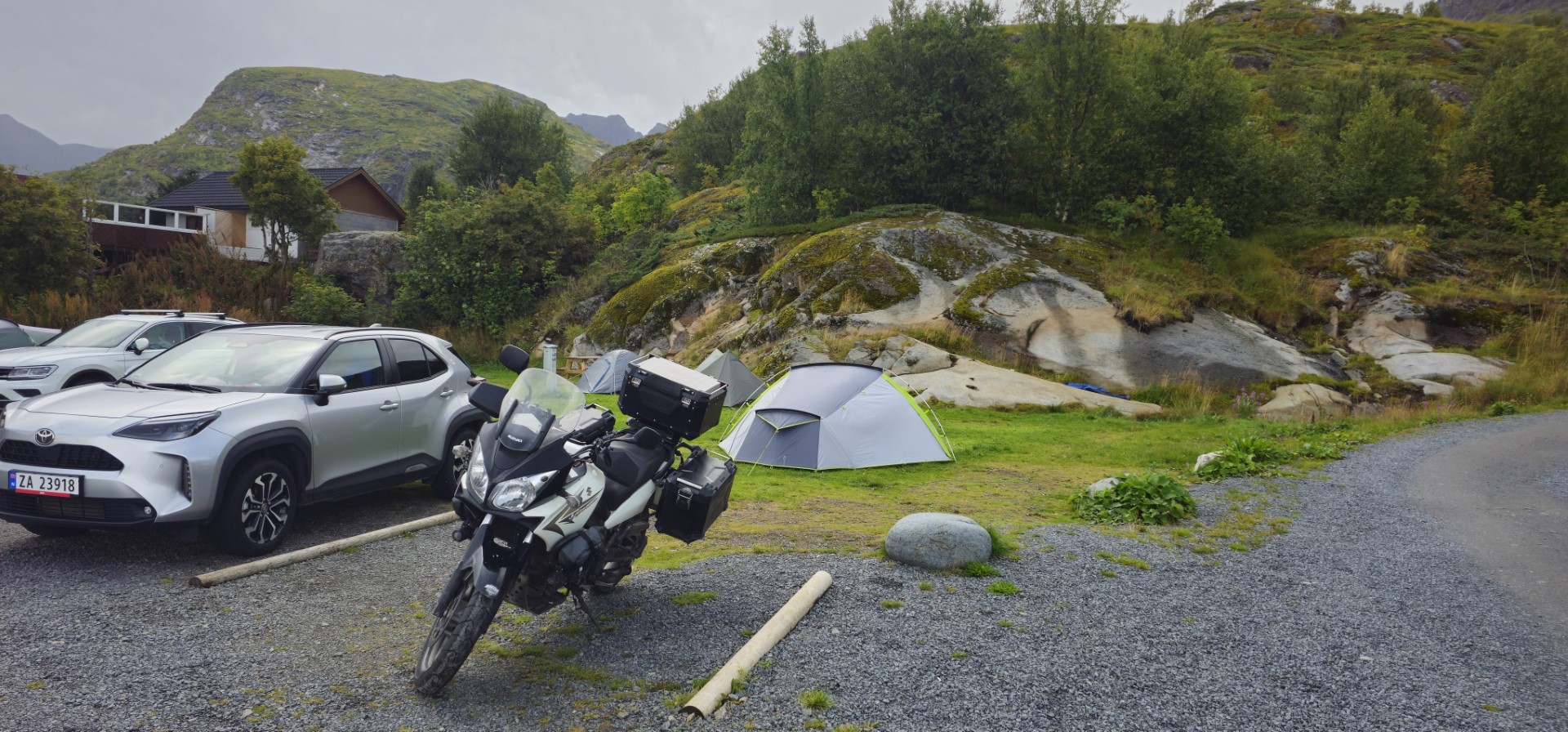
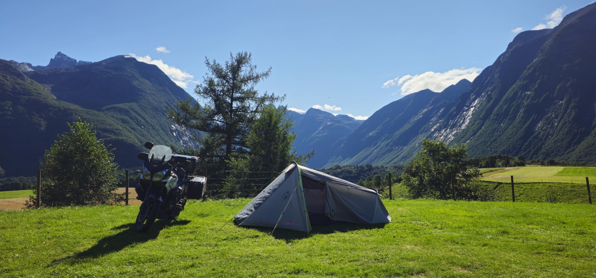
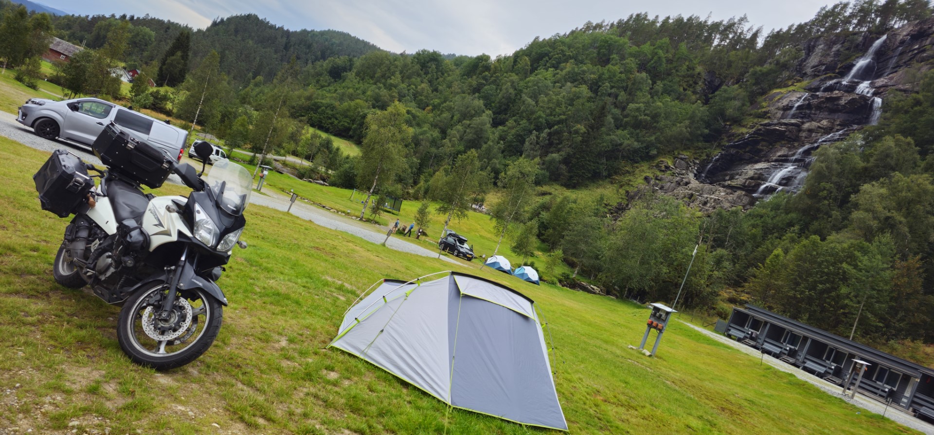
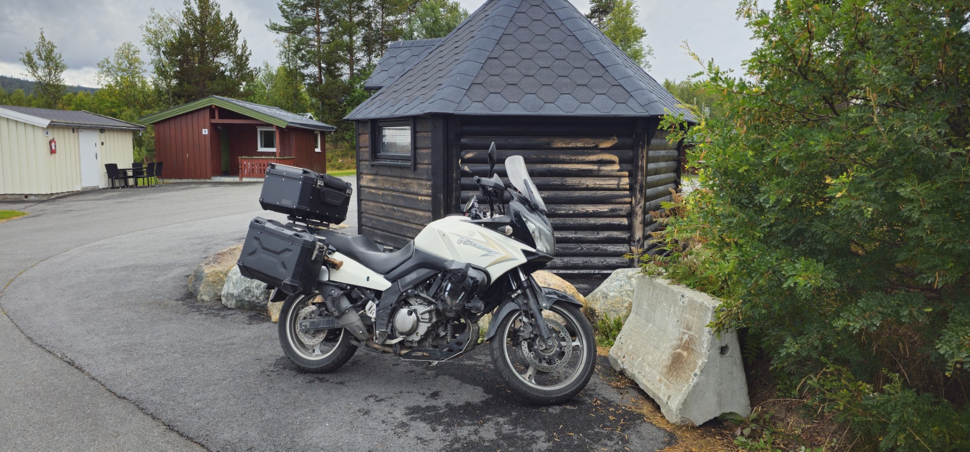
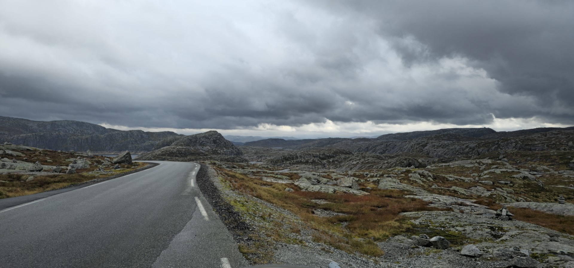
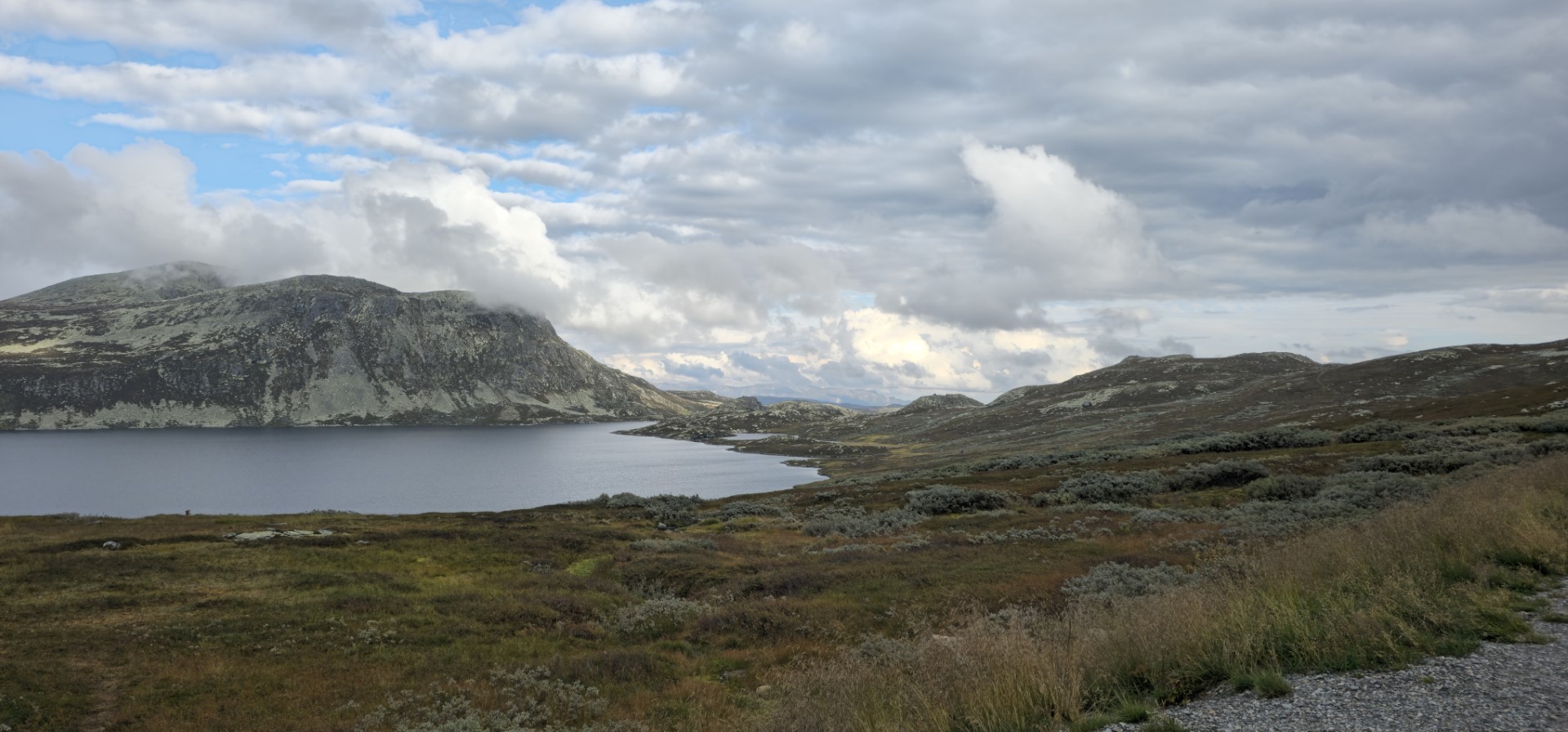
In August 2025 I have gone on a second long solo motorcycle tour. This time it was going back to basics with not staying in hotels like in Japan, but on campsites, and once also “wild camping”. For this tour the only plan I had was to head north and see where I wanted to go afterwards, with the ultimate goal to reach the North Cape in Norway.
Each day’s route was somewhat roughly planned one or two days in advance. So the tour was unplanned in the beginning and I just went with the flow.

The complete day to day tour can be seen on the map on the right.
The tour was eventually 25 days long, crossing over 10.000km in the Netherlands, Germany, Denmark, Sweden, Finland and Norway combined.

Total stats based on mobile phone GPS logging
(accuracy of these values not guaranteed)

Total Distance travelled: 10230.9 km
Total Distance travelled Motorcycle only: 10189 km (ODO meter)
Total Duration: 215:18:43
Total Duration Movement: 166:40:54
Average Speed: 60.33 km/h
Maximum speed: 131.7 km/h
Minimum Elevation: -59 meter
Maximum Elevation: 1484 meter
Total climb: 100070,4 meter
Total descent: 100084 meter

Summary per day

Day 1 - 2025-08-09 - Travel day from The Netherlands to Denmark (mostly Highway)

Playlist day 1

Finally this is the first day of the tour! A lot of distance to cover, as I wanted to reach the more interesting roads as soon as possible.
This day is practically completely highway, but that is no problem knowing what is ahead.

At the time of leaving my hometown, I didn’t yet know where I would end up this day, like all following days. This as I started this tour without any plan besides “head as far north in Scandinavia as I want and think I can”
I didn’t book the ferry I eventually took, as I thought I might want to ride both major toll bridges in Denmark. Eventually during the ride, I decided that it was better to just take the ferry if possible.

The day started of great, with nice weather, a bit hazy but that only made it better.
After a bit more than an hour I entered into Germany. This after a short border check, where I was allowed to continue without any problem. I guess I didn’t look suspicious enough 😉
As it is Germany the speed limit is higher than in The Netherlands or even non-existent. Even with knowing this I kept my speed at a maximum of around 130-140 km/h on my speed gauge (which is about 120-130 km/h on my navigation). This for my own safety and because I was in no hurry anyway.

Around Bremen I sadly enough ended up in quite big traffic jams. As I had read that it was not allowed for motorcyclist in Germany to lane filter, I stayed in line for quite some time (behave like a law abiding tourist 😉). This until I had seen several German motorcyclist lane filter. After that I thought “I will just follow their example” as riding in a traffic jam is not only not the most comfortable as motorcyclist, but can also be quite dangerous. Not only because of other people not paying attention, but also for your own body overheating.
Due to the traffic jam, and me wanting to pass Bremen as fast as possible, I did lose a part of the trip, as my battery ran out after about 2,5 hours of recording, just after entering in another traffic jam.
After finding a place to have a small break and replace the battery, I joined the traffic jam again….  but this time with lane filtering 😇

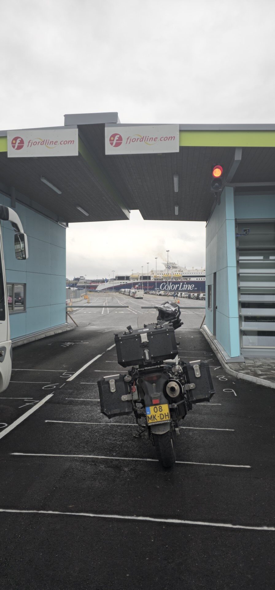
Eventually I arrived at the ferry to Denmark in Puttgarden. I was very lucky with the moment I arrived there, as a ferry was just almost done with unloading, so with a short wait, I and a motorcyclist from Italy could board the ferry.

I ended up talking a bit with this motorcyclist from Italy. Even though there was a clear language barrier, as his English wasn’t very good, it was a good talk for sure. He had a crazy plan, as he wanted to go to the North Cape from Italy and back, which isn’t that crazy on itself. But for the time he had for this trip, he needed to ride at least 700 to 900 km a day! This is definitely the crazy part. I don’t know if he completed his journey as he planned, but respect for the attempt for sure.

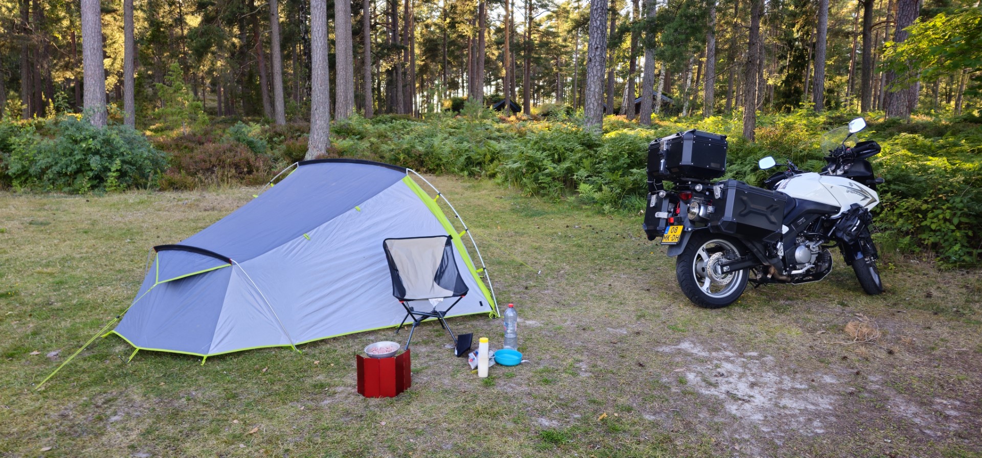
After the ferry ride, it was time disembark and ride the first kilometres in Denmark after passing the customs. During the ferry ride I searched for a campsite to stay for the night, so that was the next stop. I planned it not too far away from the harbour where the ferry docked, but also not too close by. A perfect place to continue from the next day.

GPS stats of this day, accuracy is not guaranteed 
Distance: 598.1 km
Distance flat: 561 km
Distance climb: 18.6 km
Distance descent: 18.9 km
Total Duration: 10:13:12
Duration Movement: 8:18:37
Average Speed: 58.5 km/h
Maximum speed: 125.3 km/h
Minimum Elevation: -12 m
Maximum Elevation: 107 m
Total climb: 2523.5 m
Total descent: 2515 m
Altitude Gap: 8 m

Day 2 - 2025-08-10 - Travel day Denmark to Sweden (mostly Highway)

Playlist day 2

After a talk with another Dutch motorcyclist on the campsite who arrived quite some time later than I did, and was on a short weekend trip to Denmark and back, I went to bed and had a great night sleep.

This day was just a full throttle highway day trying to get as northern in Sweden as I felt comfortable with.
After about 1.5 hours riding, I arrived at the starting point of the Øresund Bridge crossing into Sweden. Luckily it was fantastic weather as the bridge is high and has no protection from side winds for the driver on the bridge.
A few months before some family of mine also rode this bridge to cross into Sweden, during that time they had heavy rain and wind. This to the level that trucks were not allowed to cross.

During the ride following the west coast of Sweden, there was quite a lot of side wind coming from the west. This made the ride sometimes quite interesting as you can be pushed all over the place by the wind on a motorcycle. Especially when it is gusty wind.

At one of the stops I did during this entire holiday trip, I came across a parking spot only for motorcycles. This was literally the first and only that I remember coming across in Europe so far. During my 2024 Japan tour I came across quite a few.

After about a bit more than 5 hours riding, I finally left the main E6 highway near Uddevalla. Still about 2 more hours of riding until I reached the campsite for the coming night.
This was longer than planned, as I checked for a place to stay closer by, but when arriving there I saw signs that you were not allowed to setup a tent there to stay the night. So I continued on, and shortly after in the distance I saw the first wildlife (a small deer) of this trip crossing the road in front of me.

One small detail to keep in mind during this entire trip: I have normal 100% road tires fitted on my wheels, and due to the road quality in The Netherlands I have practically zero experience in riding gravel/unpaved roads. As I am riding solo,, I take my time and ride careful, as the goal if this trip is to have a great time, see a lot, and most importantly, arrive back home safely and without any bodily damage 😉.

After some nice smaller and winding roads I had to follow some more main roads to finally arrive at the campsite for the night located in Åmål.

Wildlife counter so far: (as far as I have found looking back in through the videos in a fast pace):
– Deer: >=1
– Reindeer: 0
– Moose: 0

GPS stats of this day, accuracy is not guaranteed:

Distance: 662.1 km
Distance flat: 603.5 km
Distance climb: 28.2 km
Distance descent: 29.8 km
Total Duration: 9:31:28
Duration Movement: 7:21:32
Average Speed: 89.9 km/h
Maximum speed: 124.9 km/h
Minimum Elevation: -6 m
Maximum Elevation: 213 m
Total climb: 4040.5 m
Total descent: 3997.5 m
Altitude Gap: 43 m

Day 3 - 2025-08-11 - Åmål to Idre  

Playlist day 3

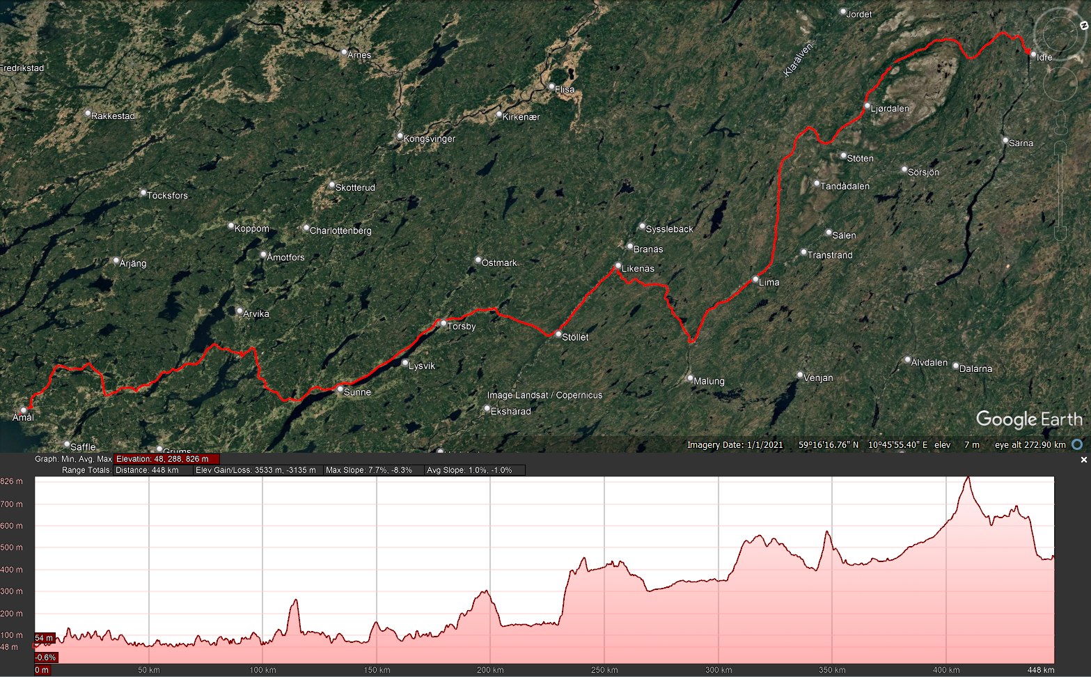
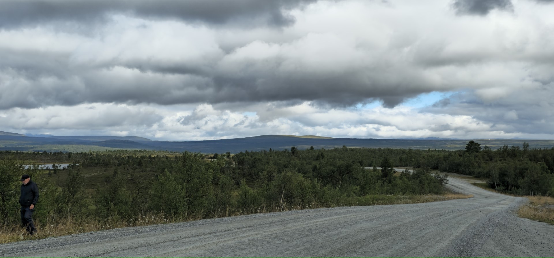
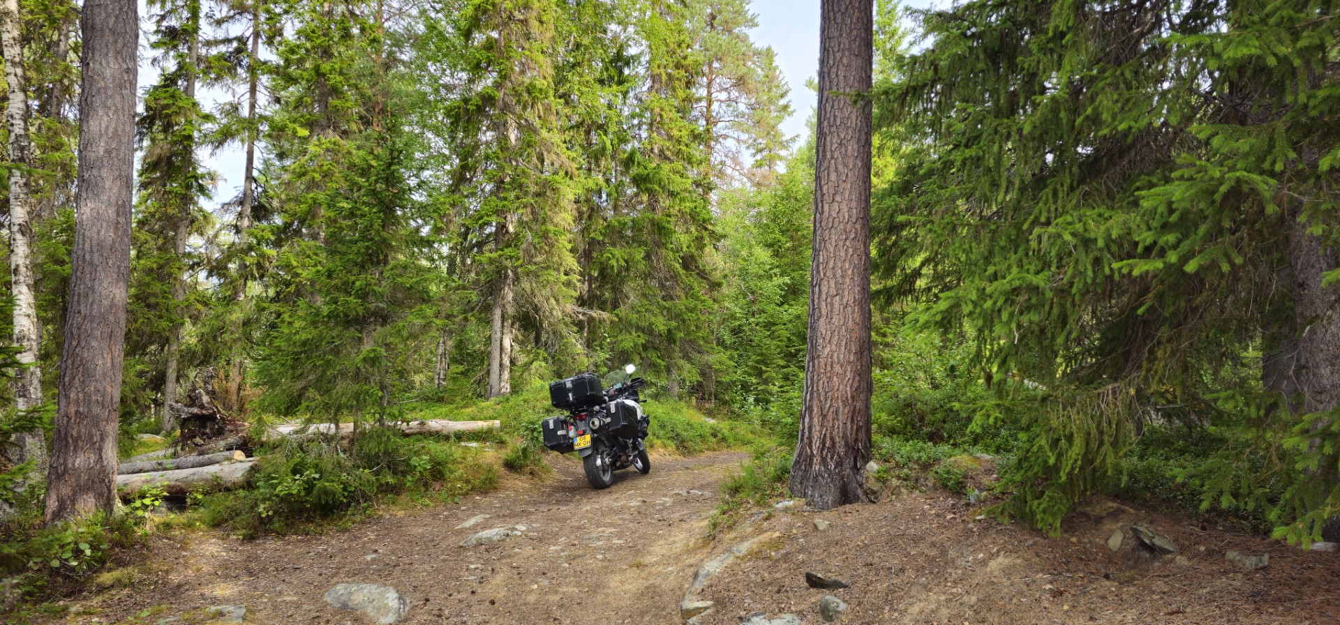
A day of all kinds of road types, but no highway anymore luckily! Naturally still quite a bit of main roads, but also winding roads through endless forests. Both paved and unpaved.
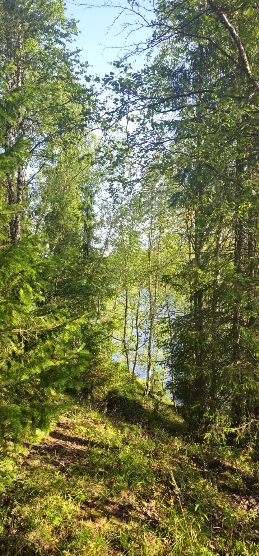
Besides riding in Sweden, today I also crossed into Norway, near Gränsbo, for a short period of time. I found a place to have a break with a pretty nice view, to then continue to return back into Sweden.

Here is where a challenging road, for me, started practically directly after crossing the border.
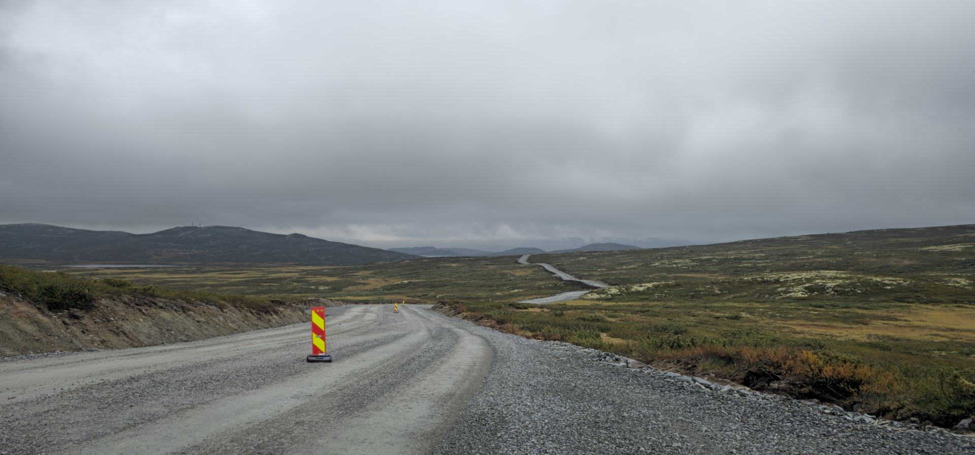
It was very hard work riding my motorcycle on that road on several long distances. This road was under construction in a way I haven’t seen before. Normally the gravel roads have relatively thin layer of small rock gravel. But this road, especially at some parts had just pored quite tick layer of loose big gravel rocks! For me as an inexperienced off pavement rider, with a heavy loaded motorcycle, with no off-road tires, it was hard work. It was even more difficult due to the large construction trucks also using the road at that moment. Which I wanted to stay clear of, so I sticked to the side of the road most of the time. This to make sure I could get out of their way.
I took my time, took it slow and took several tiny breaks during this part of the trip. Normally these road works aren’t that long distance. But this was around 30km long. Me not knowing the gravity of the roadworks continued on when seeing the signs, as it was either continuing on, or turn back and add at least another extra hour to todays ride. 

Even though it was a struggle, It was fun in it’s own way, and a good memory for sure. After a while the worst had passed and it became time for the more comfortable off pavement riding  

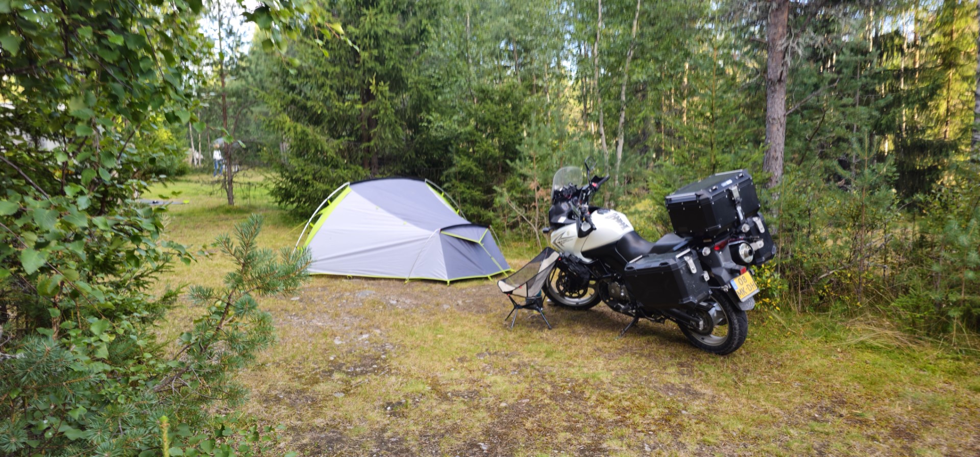
I was quite tired after the ride this day. After doing some small grocery shopping in Idre, I went to the campsite for this night. 

GPS stats of this day, accuracy is not guaranteed:
Distance: 458 km
Distance flat: 349.5 km
Distance climb: 56.9 km
Distance descent: 51.5 km
Total Duration: 9:32:07
Duration Movement: 7:28:07
Average Speed: 61.4 km/h
Maximum speed: 96.3 km/h
Minimum Elevation: 48 m
Maximum Elevation: 833 m
Total climb: 4535.6 m
Total descent: 4137.1 m
Altitude Gap: 403 m

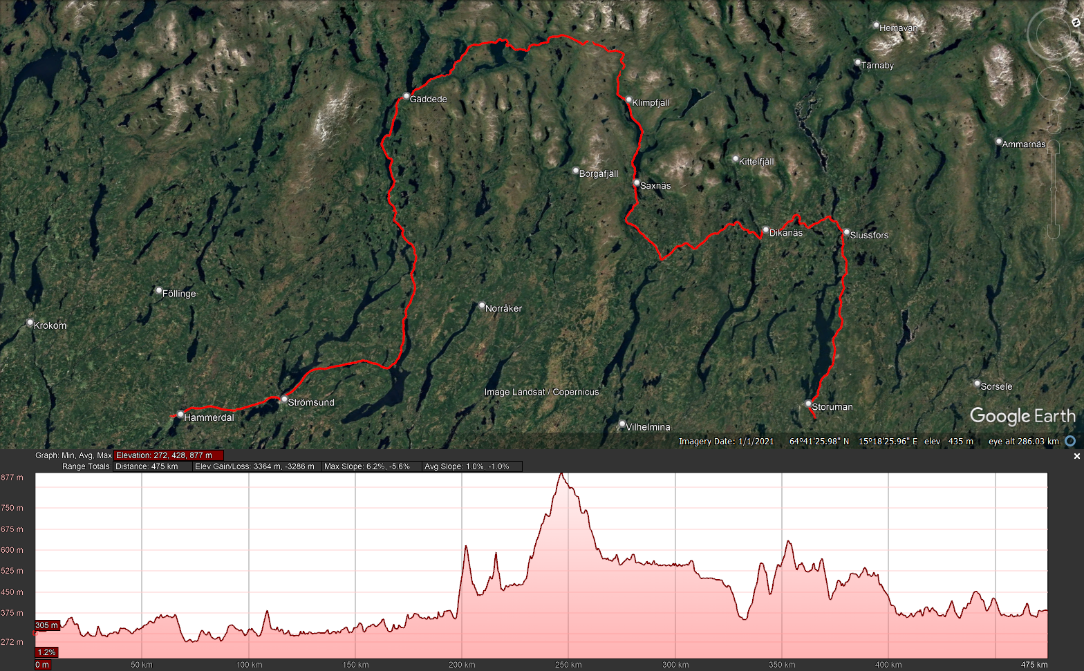
Day 4 - 2025-08-12 - Idre to Hammerdal (via Falkvålen road)    

Playlist day 4

Today was the first day I would ride a specific road which I found online to be recommended to ride. And pfff what did I have a luck today! The weather was fantastic, a bit cold in the morning, but nothing I haven’t done before.
The off pavement parts of the route were quite easily doable. Yes, I took it slow on those parts again, but that was partially due to the wildlife encounters I had during today’s trip, but also because some parts were quite slippery with my tires.
Nevertheless, a fantastic day, where mother nature was in my favour in many ways! 

Within the first 25 minutes I already came across my first two reindeer on the side of the road. These were the first two of this entire holiday. And as far as I remember, the first I have ever seen while being in Sweden over the years.
Time to start the counting of the minimum amount of wildlife I came across this trip! Let’s see if it is possible to see both Reindeer and Moose in all 3 Scandinavian countries I will pass through.  🤔

Not even 25 minutes later, I won another price! Spotted my first moose of this trip! Yes it was far away and only lasted a second or two of it crossing the road. But it was definitely there! It is a shame that it is very hard to spot on the camera, but if you look closely in the distance you can see it pass the middle of the road at around 23:20.
I did feel sorry for the people in the camper who let me pass not even a minute before. I got to see the moose because of this. But I wonder if they have been able to see it pass, as I was riding in front.
As far as I understood, and have experienced in the several times I have been in Norway/Sweden, spotting a moose is really being lucky, especially during daytime.

The next meetup with wildlife was a little bit dangerous, as two of them came running out of the bushes/ditch on the side of the road, just after a small hill. I needed to swerve and break to avoid hitting them.
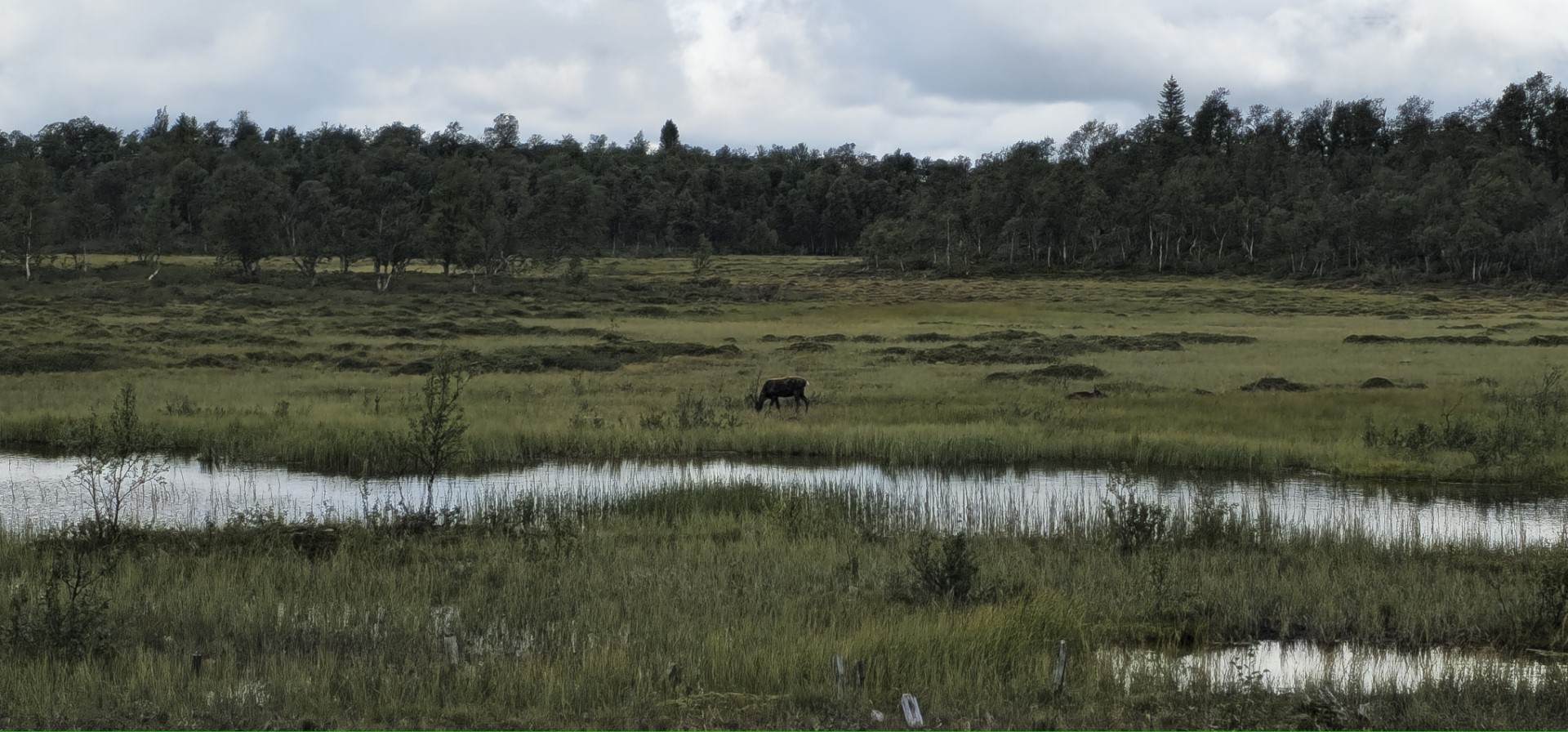
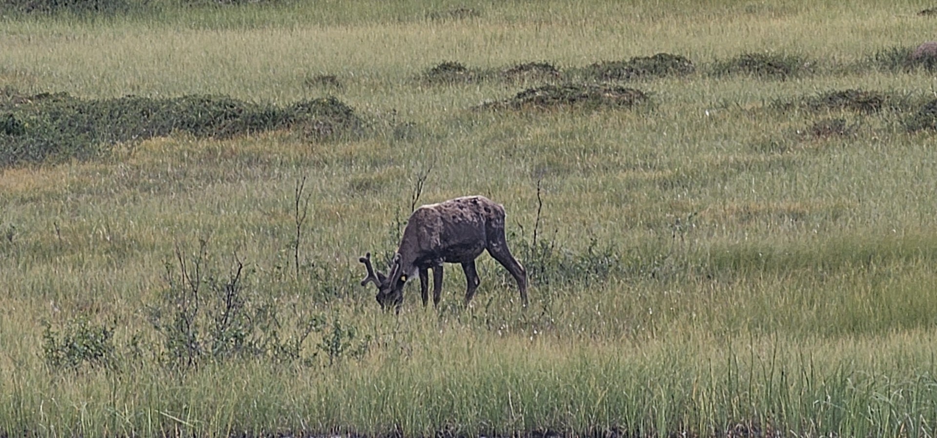
The next meetup was way more peaceful. This as this reindeer was just chilling near a pond in a field next to the road. At some distance from the road. So I also had some time to stop and to try to make a picture with my phone. About 5 minutes riding later I saw a small herd of reindeer walking in the far distance in the field. Also stopped here for a bit to look. But knowing it would not be visible on either camera, as they were too far away.

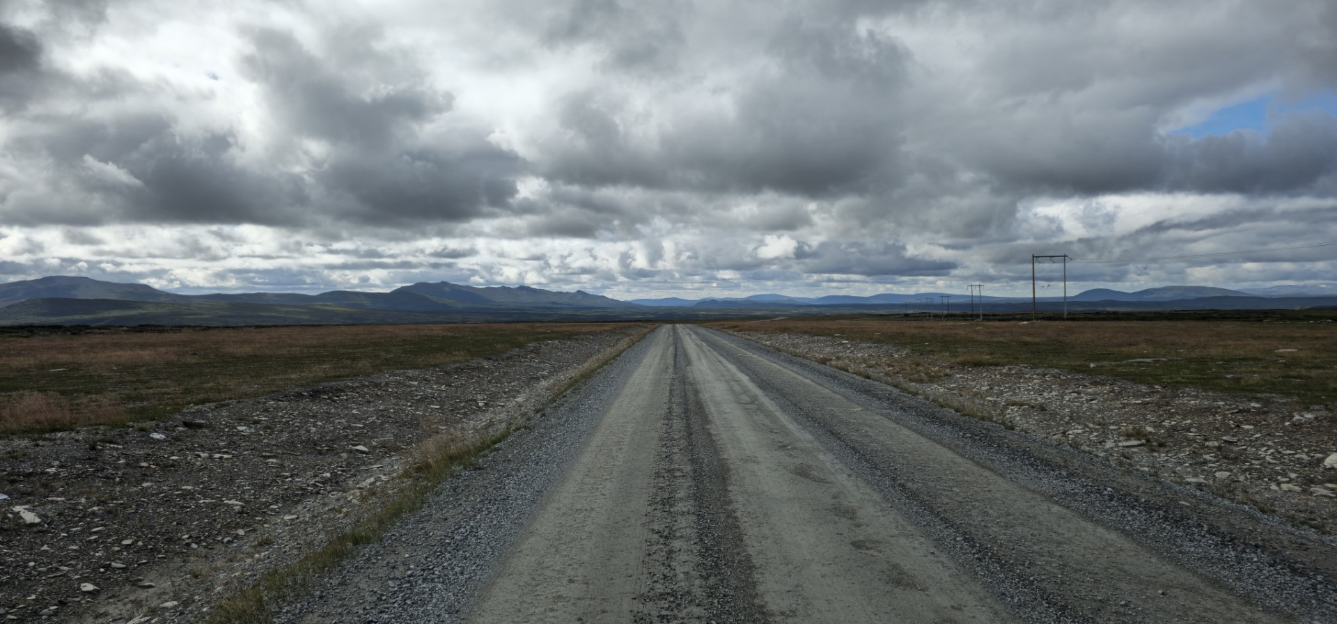
Quite some time later, while enjoying a nice landscape view, I came across my next 4 reindeer. This time in the middle of the road. They only started to walk/run after I approached decently close. And what funny it is to see them run, as they have a special gait in running.

While riding downhill with a fantastic open view, I entered reindeer world for my feeling as I had multiple encounters within a few minutes: one, two, three, four, five. Where number five was at least a group of 12 reindeer!

After this very wildlife eventful part of the route, no big wildlife was seen anymore. As this was the end of the special route I set out to ride today, I started to plan and follow a route to a campsite near the area where I wanted to end the day.  There where some delays like having to wait for about 8 – 10 minutes before being allowed to continue past road works. This time it where not large gravel on the road, but they where actively laying asphalt. So I could “enjoy” some toxic fumes after all that nice forest/mountain air.
About 230km after reaching the end of the descent of the mountain with the large number of reindeer, I reached the campsite, for a well deserved rest. Here I also chose to have a dinner in the restaurant of the campsite itself. They had a very tasty double burger I must say.

Wildlife counter: (as far as I have found looking back in through the videos in a fast pace):
Deer: >=1
Reindeer: >=31 
Moose: 1

GPS stats of this day, accuracy is not guaranteed:
Distance: 379.6 km
Distance flat: 274.4 km
Distance climb: 50.4 km
Distance descent: 54.7 km
Total Duration: 9:09:19
Duration Movement: 7:06:52
Average Speed: 53.3 km/h
Maximum speed: 101.5 km/h
Minimum Elevation: 255 m
Maximum Elevation: 980 m
Total climb: 3939.8 m
Total descent: 4090.4 m
Altitude Gap: -151 m

Day 5 - 2025-08-13 - Hammerdal to Storuman (Via Vildmarksvägen)   

Playlist day 5

Today started of quite chilly and damp even though it was sunny. The summer morning sun doesn’t have that much power yet, but the more northern you go the longer the light will be there. Even when it is already several months after the midsummer night festivals, as then the longest day is celebrated and the sun never sets, so it is 24 hours of daylight depending on how northern you are at.

First task of the day after breakfast and packing in my tent and such, was getting fuel and finding a place that sells suitable motorcycle oil. This as I thought seeing that my oil level was low.
After getting fuel I went into the shop of the gas station hoping that there was proper motorcycle oil there. But I was out of luck. They had everything for trucks, cars and snowmobiles…. Even lawnmower oil was on their shelves… but no motorcycle oil. So it was up to the next stop. The people at the gas station pointed me to a shop that possibly had it on my route. They didn’t know for sure, but I hoped for the best.
I found it indeed in one of the locations they pointed me at. Luckily it was the first in a place called Näsviken. about 31km further from the gas station.
On the way to Näsviken there were quite some nice (open water) views from time to time, when the fog cleared out. (some parts the fog was quite dense, which was naturally a bit more tricky, and cold, to ride in)

After picking up the oil, it was time to move on, although within a minute from the shop I needed to wait for construction on the road, as they were working on a bridge I needed to cross. Luckily it was not a too long wait.

As today had a lot of tarmac roads planned in as route, I tried to find some smaller side roads if they lead to an interesting view and/or place. One of these was going towards a waterfall called: Hällingsåfallet. But reaching the road leading towards this waterfall, I decided to turn around as the road was in a too bad condition for the about 29km it still took to reach the waterfall from that point (especially seeing the warnings posted). This in combination with me wanting to reach a certain end point for today, I decided turning around was the best. So after doing so I continued directly onto my route over the Vildmarksvägen, but not before finding a bit muddy buy nice spot to take a break.

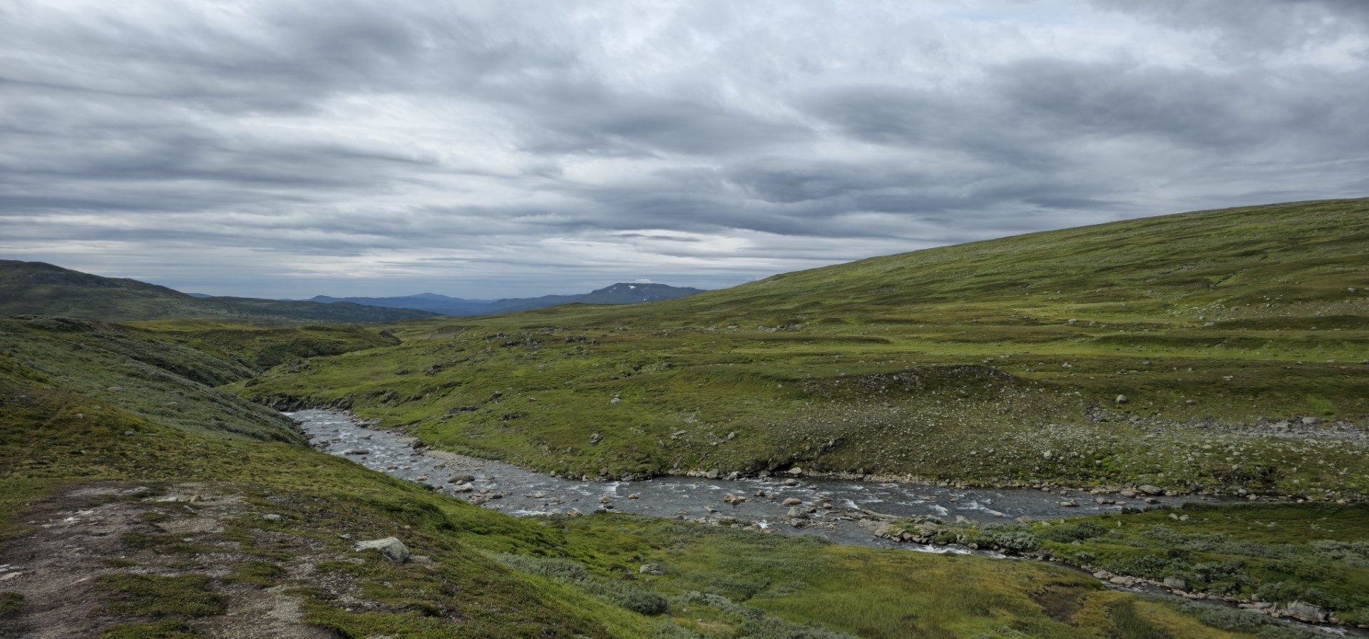
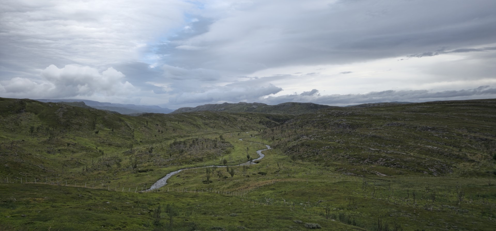
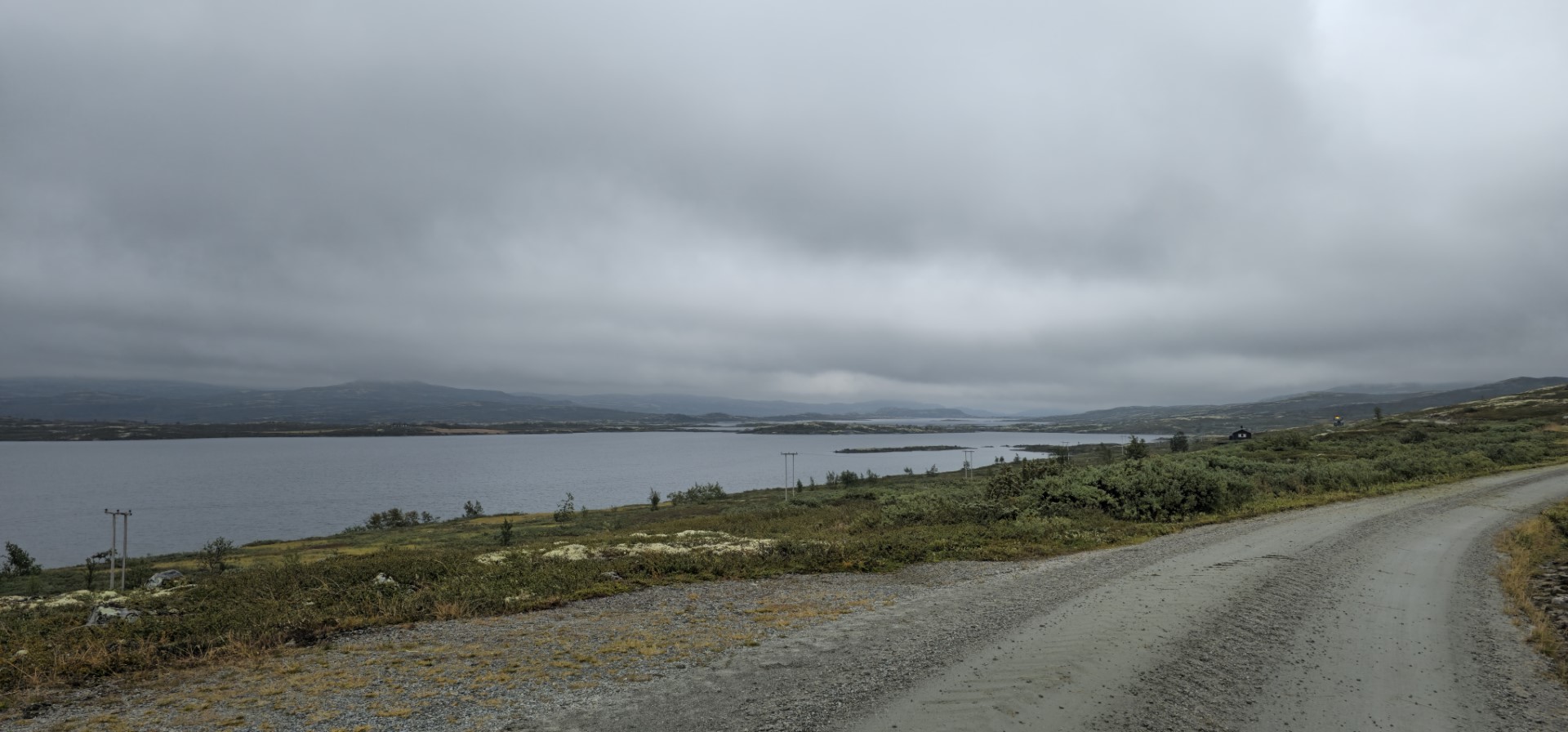
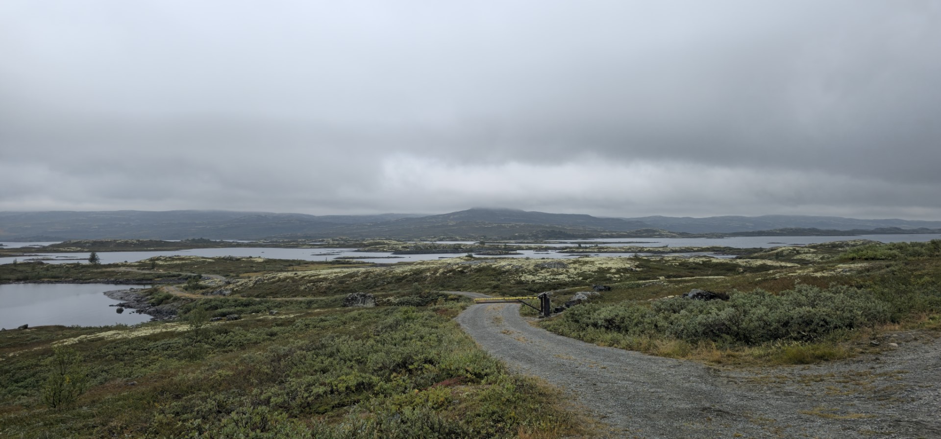
From part 5 the route becomes more interesting. This due to the more altitude difference, and eventually ending up in the nice open views I know from Norway. As parts of the route are quite close to Norway, it makes sense that the landscape changes more towards how it is in Norway.

With my luck so far, also here there were road works going on, so time to wait a bit before seeing who ‘good’ the road might be further ahead. 
Luckily it wasn’t that bad, as it was scraped off tarmac, where in the beginning around the centre line the tarmac was still untouched, so I could ride normally. Although certain parts were a little more ‘difficult’ due to the way the tarmac was scraped off and the random holes in the road from time to time.
Naturally another point where waiting was needed came. This time it took almost 10 minutes before we could continue. It felt like it took ages… 😅.  It made sense eventually that waiting took some more time than usual. This as they were actively paving the road.
Some time later it was time for a break with some food and all, without planning coming across a more touristy parking spot near a waterfall, I decided to park there, as you never know when you have a decent spot to park again.

Trying to cover more distance, I picked up the pace a bit up to the moment I reached off pavement riding again. There I slowed down the pace again. About 40 minutes later, it was back to only tarmac again.

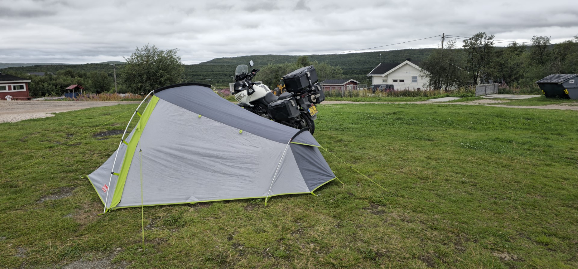
Finally after over 480km I reached the campsite for tonight. This over a quite nice small gravel road of some distance.

On the campsite I met two Dutch fellow motorcyclist heading back to the Netherlands after having reached the North Cape several days before. During the stretch of road they did back an to the North Cape, one of them lost their mobile phone, as it slipped out of it’s holder. As I was heading up north I offered to look around a bit while riding to see if I might find it. (sadly enough I eventually didn’t find it… would have been a fantastic story if I would have found it)

GPS stats of this day, accuracy is not guaranteed:
Distance: 483.6 km
Distance flat: 386 km
Distance climb: 48.867 km
Distance descent: 48.649 km
Total Duration: 9:17:53
Duration Movement: 6:57:30
Average Speed: 69.5 km/h
Maximum speed: 112.7 km/h
Minimum Elevation: 272 m
Maximum Elevation: 879 m
Total climb: 4355.9 m
Total descent: 4276.7 m
Altitude Gap: 79 m

Day 6 - 2025-08-14 - Storuman to Rovaniemi (Finland)   

Playlist day 6

Today I had to pack my stuff all wet as it had rained during the night. This was naturally to be expected to happen every now and then, especially when going to Scandinavian countries.
After leaving the campsite, I struggled a bit with my secondary phone I use for navigation. The screen definitely doesn’t like to get wet, as it starts to get a life of it’s own. This happens every now and then during this entire trip, and is one of the small irritations of using an old phone for navigation.

But after (for now) setting up the navigation it was time to start the ride properly. Today it is a long distance to cover as I want to end up a decent distance into Finland.

As today follows the main roads E45, E10, E4, E75 and secondary road 94, this route can be taken in quite a decent pace. Even though I did have a decent speed during this day’s ride, there were still cars feeling the need to go faster. Probably being annoyed by the fast but still too slow tourist on a motorcycle. And even the trucks have a more than decent pace overall… 90km/h and higher is no exception on these wavy two lane roads. Sometimes though, I was also not the most patient towards other tourists and overtook them😇.

The recording of the second stretch of riding, had a bit of a dirt/condensing issue on the front lens, so it caused the video to be a bit ‘foggy’, this was not the case in reality though. No matte how much I try, I will sometimes forget to check the lenses before riding…

After about 5 hours riding, I entered into Finland, in a town called Haparanda/Tornio.

About 1,5 hours later I had arrived in the city called Rovaniemi where I decided to stay on a camping next to the river, and next to the somewhat interesting double layer bridge I had to cross to get there. (especially the Y shaped junction at the end of the bridge was worthy to pay a bit more attention to before crossing it)

After my tent was setup I wanted to treat myself to a nice dinner after a long ride and just to celebrate having reached a point on/very close by the arctic circle!
So I went out to for dinner in the center of Rovaniemi. This dinner was way more fancy than I planned for, but they had a place free for one person. The restaurant is called the Arctic Restaurant.
I was very lucky that they had a spot free for someone who hadn’t reserved in advance. And I was even more lucky as the had a special menu that time called the “Arctic Light Hotel 10-year Anniversary” This menu contained:

  • Small set of two types of bread with herby butter
  • King crab soup with king crab and fennel
  • Reindeer two ways with celeriac, wild garlic and truffle
  • Blueberry sorbet with champagne
  • yogurt foam with marinated rhubarb and rhubarb sorbet

Next to the food, I splurged myself with a glass of Kyrö Rye Malt and Kyrö wood smoke Rye Finnish whiskey. All and all, a great end of the day. Afterwards a nice and slightly tipsy walk back to the campsite… a perfect end of the day I reached close to the Arctic circle!

Wildlife counter so far: (as far as I have found looking back in through the videos in a fast pace. For this day, I know for sure I missed a few…):
Deer: >=1
Reindeer: >=31 
Moose: 1
Fox: 1 <– somewhere I thought this day I have seen a fox on the left side of the road. But I haven’t been able to find it back in the recordings. Soooo many hours to go through when you have forgotten the functions of being able to mark special points in a recording, during recording…

GPS stats of this day, accuracy is not guaranteed:
Distance: 552.2 km
Distance flat: 494.7 km
Distance climb: 26.9 km
Distance descent: 30.5 km
Total Duration: 7:45:46
Duration Movement: 6:36:25
Average Speed: 83.6 km/h
Maximum speed: 120.6 km/h
Minimum Elevation: 0 m
Maximum Elevation: 534 m
Total climb: 3030.4 m
Total descent: 3331.1 m
Altitude Gap: -301 mtwo

Day 7 - 2025-08-15 - Rovaniemi to Neiden (Norway)   

Playlist day 7

text to be added

not the most interesting route, but have seen many fellow motorcyclists, and some reindeer, and again a moose!

GPS stats of this day, accuracy is not guaranteed:
Distance: 480.5 km
Distance flat: 426.2 km
Distance climb: 26 km
Distance descent: 28.3 km
Total Duration: 7:40:03
Duration Movement: 6:03:00
Average Speed: 79.4 km/h
Maximum speed: 124.8 km/h
Minimum Elevation: 43 m
Maximum Elevation: 363 m
Total climb: 2868.6 m
Total descent: 2905.2 m
Altitude Gap: 34 m

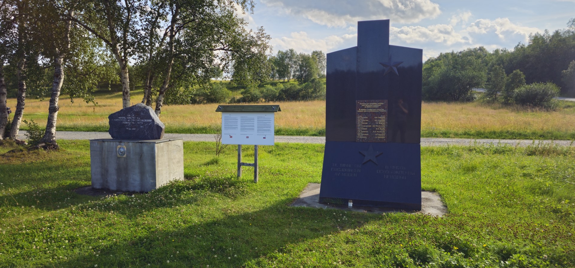
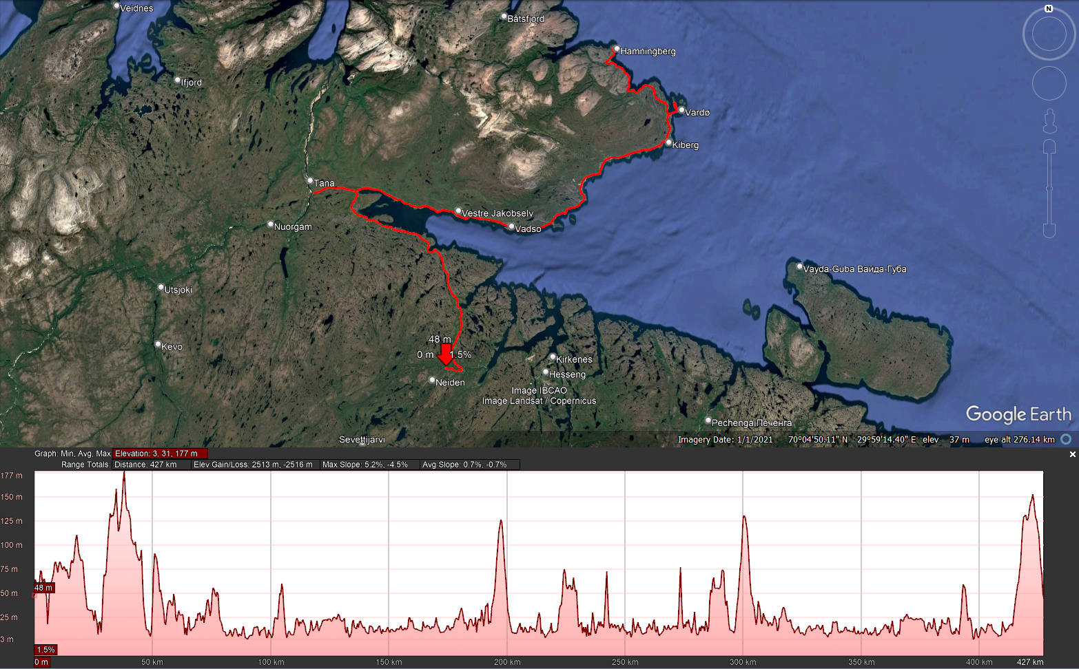
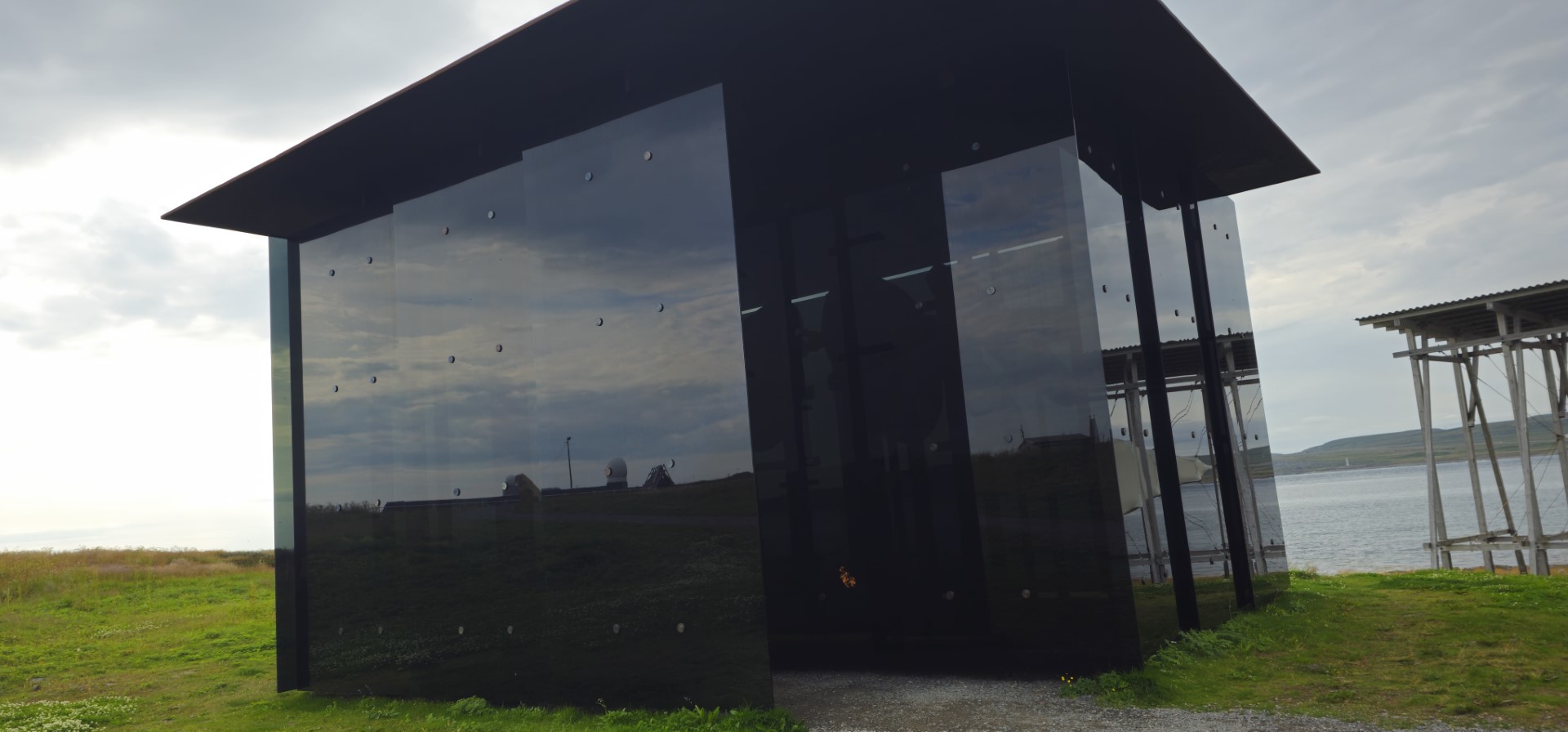
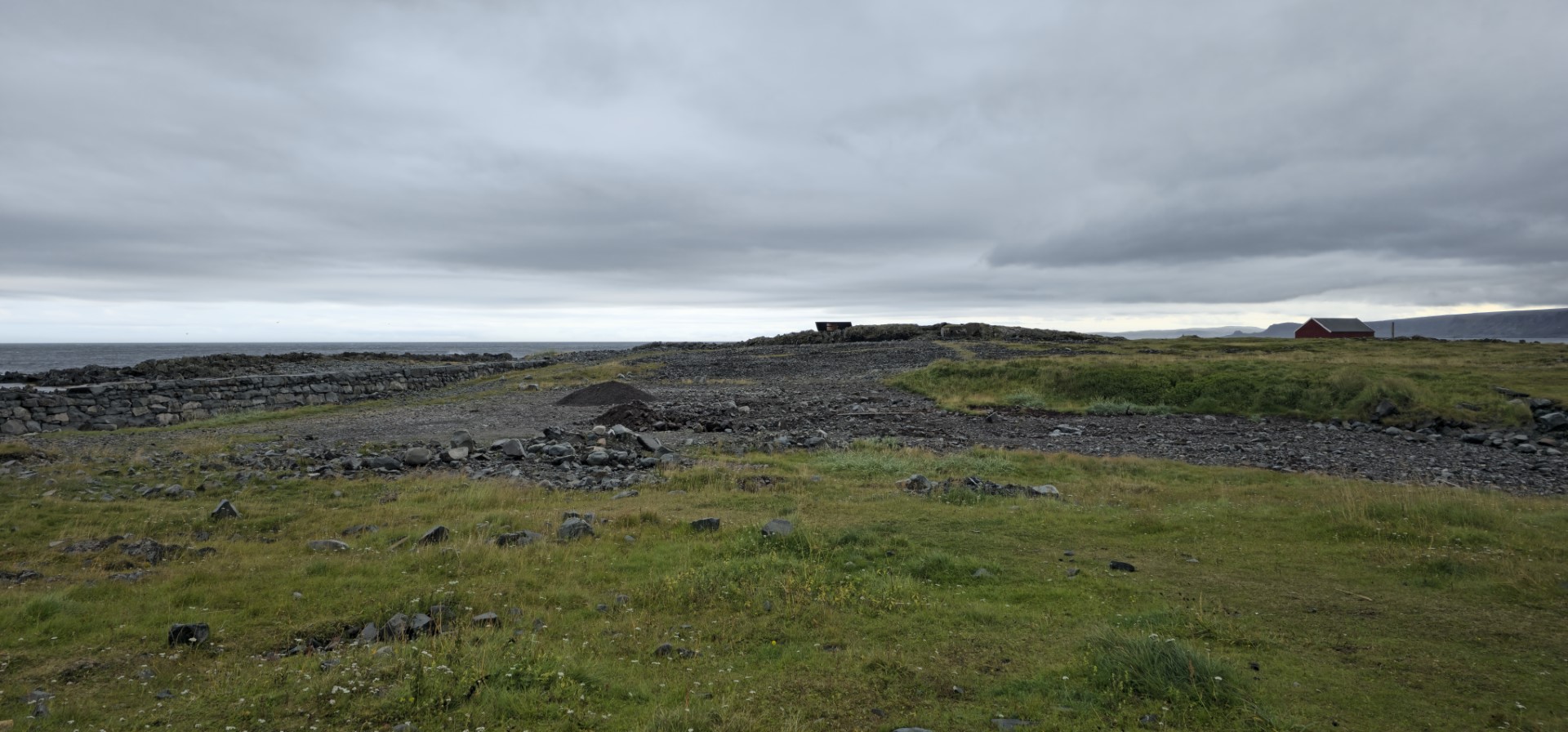
Day 8 - 2025-08-16 - Neiden to Skippagurra (Via Vardø and Hamningberg)   

Playlist day 8

More text to be added!

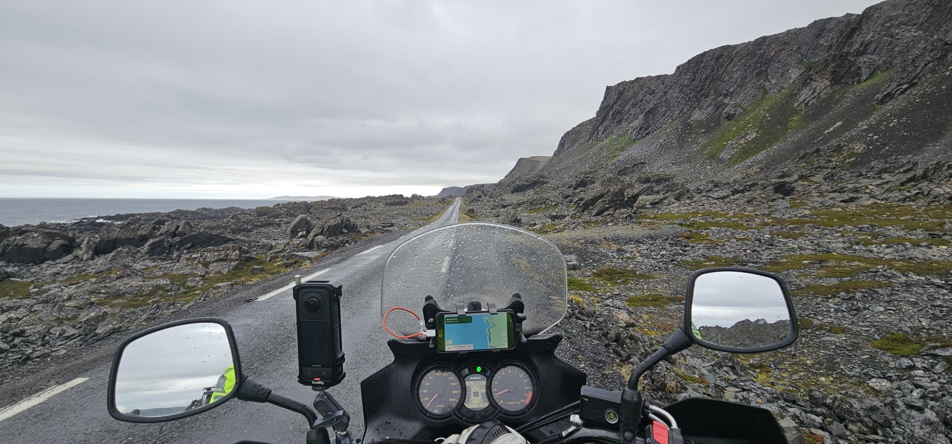
Day which had a decent amount of rain in the morning, I almost crashed, had to deal with a kamikaze seagull, and fight with strong side winds on my way back from Hamningberg.

GPS stats of this day, accuracy is not guaranteed:
Distance: 438 km
Distance flat: 359.5 km
Distance climb: 38.9 km
Distance descent: 39.7 km
Total Duration: 9:41:37
Duration Movement: 7:28:40
Average Speed: 58.6 km/h
Maximum speed: 94.3 km/h
Minimum Elevation: -2 m
Maximum Elevation: 180 m
Total climb: 3467.9 m
Total descent: 3470.8 m
Altitude Gap: 0 m

Day 9 - 2025-08-17 - Skippagurra to the North Cape   

Playlist day 9

text to be added.

Met and talked some time with a Swiss couple on the campsite, who where just reached the final point of their cycling holiday, 3.5 months cycling from Switzerland to the North Cape, Norway. What a achievement! 

GPS stats of this day, accuracy is not guaranteed:

Part 1: (Previous location to campsite near the North Cape)
Distance: 397.9 km
Distance flat: 291.3 km
Distance climb: 52.5 km
Distance descent: 54.1 km
Total Duration: 7:59:21
Duration Movement: 6:27:12
Average Speed: 61.6 km/h
Maximum speed: 87.9 km/h
Minimum Elevation: 2 m
Maximum Elevation: 372 m
Total climb: 4141 m
Total descent: 4134.3 m
Altitude Gap: 10 m

Part 2:  (campsite to North Cape)
Distance: 27.7 km
Distance flat: 9.7 km
Distance climb: 8.7 km
Distance descent: 9.3 km
Total Duration: 1:40:31
Duration Movement: 0:54:18
Average Speed: 30.6 km/h
Maximum speed: 78.8 km/h
Minimum Elevation: 47 m
Maximum Elevation: 308 m
Total climb: 664.6 m
Total descent: 669.1 m
Altitude Gap: -6 m

Day 10 - 2025-08-18 - The North Cape to Skibotn   

Playlist day 10

text to be added

GPS stats of this day, accuracy is not guaranteed:
Distance: 530 km
Distance flat: 396.9 km
Distance climb: 65.5 km
Distance descent: 67.7 km
Total Duration: 11:22:47
Duration Movement: 8:31:54
Average Speed: 62.1 km/h
Maximum speed: 104.5 km/h
Minimum Elevation: -12 m
Maximum Elevation: 387 m
Total climb: 5522.2 m
Total descent: 5564.9 m
Altitude Gap: -30 m


Day 11 - 2025-08-19 - Skibotn to Hov, Tjeldsund   

Playlist day 11

text to be added/expanded

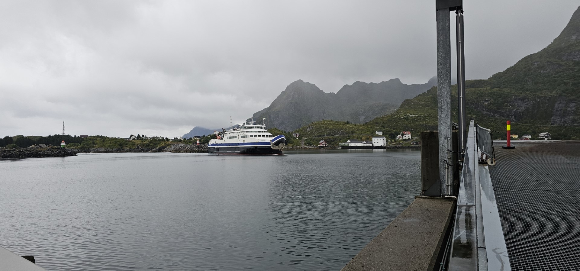
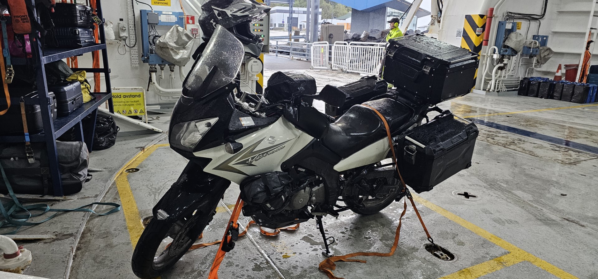
First Norwegian ferry of this trip, interestingly slippery road construction in progress

GPS stats of this day, accuracy is not guaranteed:
Distance: 302 km
Distance flat: 211.1 km
Distance climb: 45.3 km
Distance descent: 45.6 km
Total Duration: 8:04:39
Duration Movement: 6:04:35
Average Speed: 49.7 km/h
Maximum speed: 91.9 km/h
Minimum Elevation: 240 m
Maximum Elevation: -19 m
Total climb: 3432.5 m
Total descent: 3420.5 m
Altitude Gap: 20 m

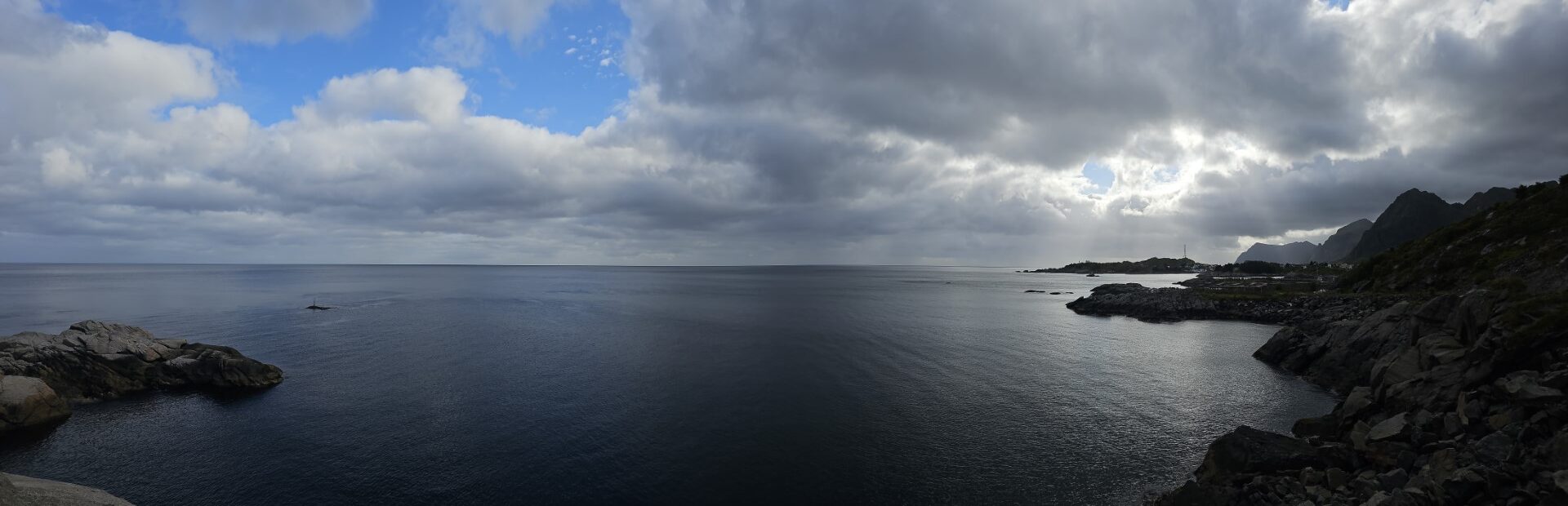
Day 12 - 2025-08-20 - Hov, Tjeldsund to Moskenes, Å, Lofoten    

Playlist day 12

text to be added/expanded

GPS stats of this day, accuracy is not guaranteed:
Distance: 322.7 km
Distance flat: 232.3 km
Distance climb: 46 km
Distance descent: 44.4 km
Total Duration: 7:03:37
Duration Movement: 5:57:06
Average Speed: 54.2 km/h
Maximum speed: 102.8 km/h
Minimum Elevation: -3 m
Maximum Elevation: 167 m
Total climb: 3442.3 m
Total descent: 3432.6 m
Altitude Gap: 23 m

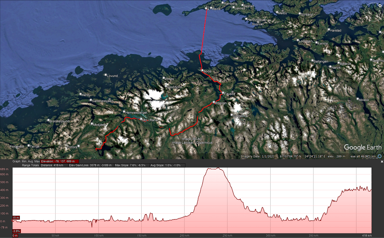
Day 13 - 2025-08-21 - Moskenes, Lofoten to a farm campsite near Akervika    

Playlist day 13

text to be added/expanded

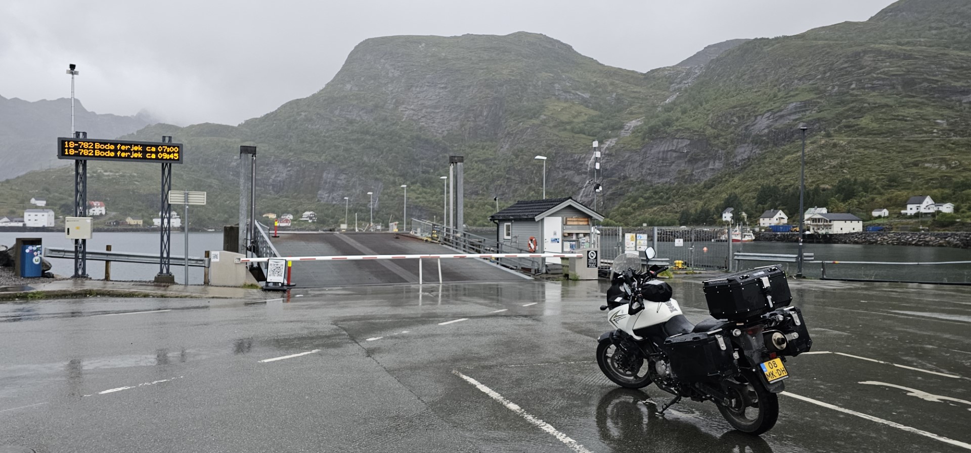
Using ferry from Moskenes to Bodø

Met Ukrainian solo traveler, Anastasia on the ferry, who made some sneak pictures ;-P and also asked for making some posed pictures. (added the sneak pictures to this page as they are the best, most natural in my opinion 😉 )

GPS stats of this day, accuracy is not guaranteed:
Distance: 430.7 km
Distance flat: 300.4 km
Distance climb: 67.6 km
Distance descent: 62.7 km
Total Duration: 11:51:32
Duration Movement: 8:57:30
Average Speed: 48.1 km/h
Maximum speed: 96.4 km/h
Minimum Elevation: -82 m
Maximum Elevation: 690 m
Total climb: 5171.5 m
Total descent: 4783.1 m
Altitude Gap: 389 m

Day 14 - 2025-08-22 - Campsite near Akervika to a campsite near Åsenfjord    

Playlist day 14

text to be added

Several fantastic rainbows seen, also seen three moose today! which makes my collection complete for this holiday, in Sweden, Finland, and now also in Norway I have seen both moose and reindeer!

GPS stats of this day, accuracy is not guaranteed:
Distance: 410.5 km
Distance flat: 287.8 km
Distance climb: 57.8 km
Distance descent: 64.9 km
Total Duration: 8:16:40
Duration Movement: 6:28:26
Average Speed: 63.4 km/h
Maximum speed: 97 km/h
Minimum Elevation: -4 m
Maximum Elevation: 622 m
Total climb: 4698.4 m
Total descent: 5099.9 m
Altitude Gap: -392 m

Day 15 - 2025-08-23 - Åsenfjord to somewhere near Drevsjø   

Playlist day 15

text to be added

GPS stats of this day, accuracy is not guaranteed:
Distance: 338.2 km
Distance flat: 255.6 km
Distance climb: 45.7 km
Distance descent: 36.9 km
Total Duration: 6:12:31
Duration Movement: 5:05:07
Average Speed: 66.5 km/h
Maximum speed: 94.1 km/h
Minimum Elevation: 2 m
Maximum Elevation: 922 m
Total climb: 3683.4 m
Total descent: 3007.4 m
Altitude Gap: 677 m

Day 16 - 2025-08-24 - Drevsjø to Gjøra   

Playlist day 16

text to be added

GPS stats of this day, accuracy is not guaranteed:
Distance: 363.1 km
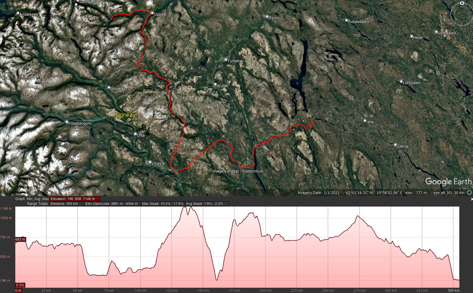
Distance flat: 254.5 km
Distance climb: 51.2 km
Distance descent: 57.4 km
Total Duration: 6:57:58
Duration Movement: 5:38:33
Average Speed: 64.3 km/h
Maximum speed: 91.2 km/h
Minimum Elevation: 192 m
Maximum Elevation: 1148 m
Total climb: 4335.8 m
Total descent: 4819.6 m
Altitude Gap: -469 m

Day 17 - 2025-08-25 - Gjøra to Åndalsnes via Aursjøvegen    

Playlist day 17

text to be added

GPS stats of this day, accuracy is not guaranteed:
Distance: 215.1 km
Distance flat: 141.4 km
Distance climb: 37 km
Distance descent: 36.8 km
Total Duration: 7:06:09
Duration Movement: 5:03:20
Average Speed: 42.5 km/h
Maximum speed: 87.4 km/h
Minimum Elevation: -3 m
Maximum Elevation: 952 m
Total climb: 3043.7 m
Total descent: 3190.2 m
Altitude Gap: -146 m

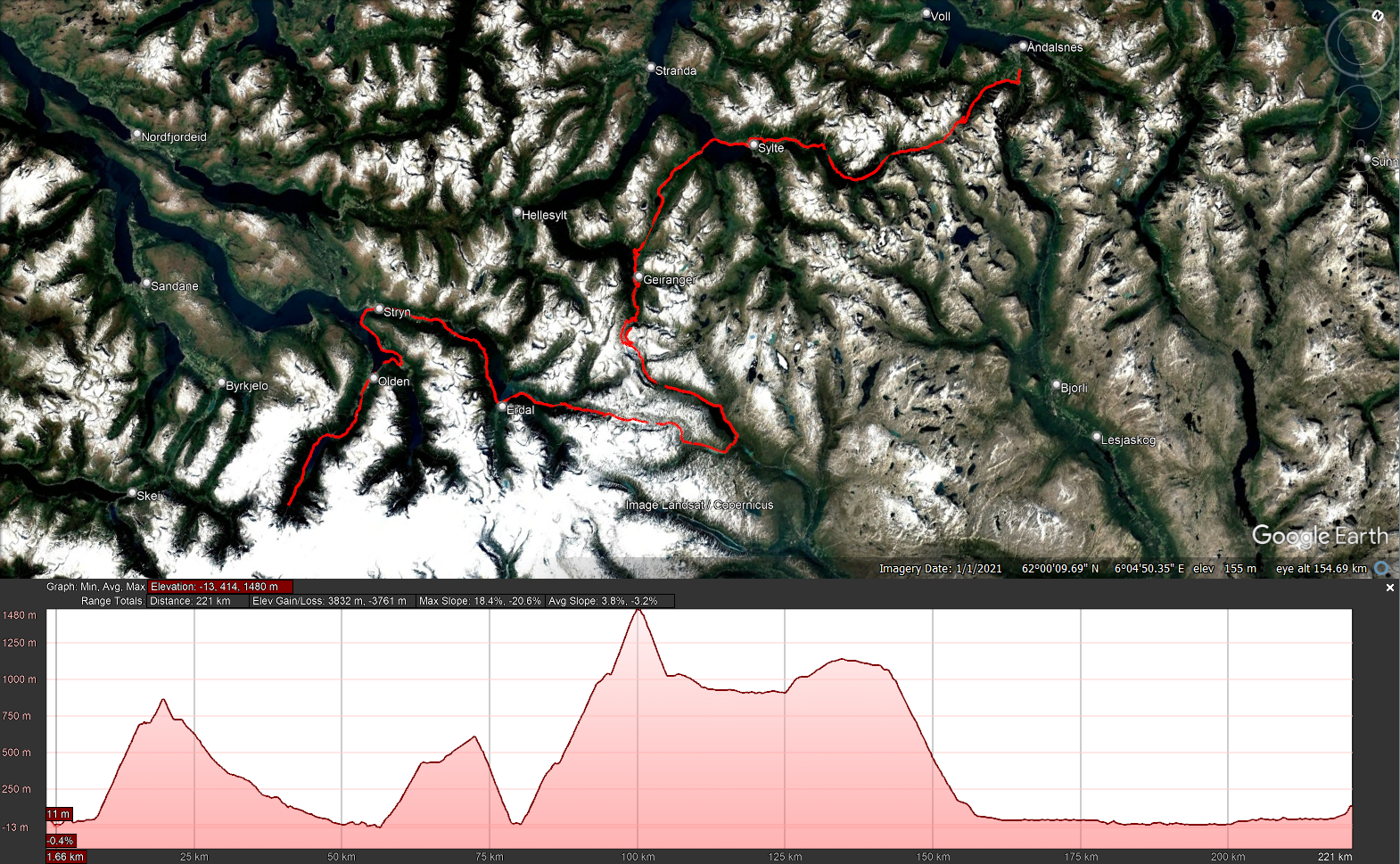
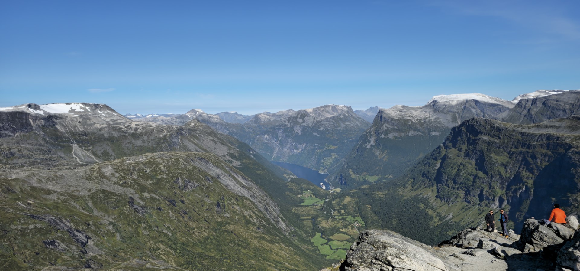
Day 18 - 2025-08-26 - Åndalsnes to Briksdalsbre via Trollstigen, Dalsnibba utsiktspunkt, Strynefjellsvegen   

Playlist day 18

text to be added

GPS stats of this day, accuracy is not guaranteed:
Distance: 236.3 km
Distance flat: 137.8 km
Distance climb: 49.6 km
Distance descent: 48.8 km
Total Duration: 7:33:42
Duration Movement: 5:51:47
Average Speed: 40.3 km/h
Maximum speed: 91.6 km/h
Minimum Elevation: -12 m
Maximum Elevation: 1484 m
Total climb: 4261.6 m
Total descent: 4190.3 m
Altitude Gap: 74 m

Day 19 - 2025-08-27 - Briksdalsbre to Tvindefossen via Gaularfjellsvegen   

Playlist day 19

text to be added

GPS stats of this day, accuracy is not guaranteed:
Distance: 271.1 km
Distance flat: 170 km
Distance climb: 50.4 km
Distance descent: 50.7 km
Total Duration: 7:10:39
Duration Movement: 5:21:29
Average Speed: 50.6 km/h
Maximum speed: 101.5 km/h
Minimum Elevation: -7 m
Maximum Elevation: 994 m
Total climb: 4135.4 m
Total descent: 4145.1 m
Altitude Gap: -8 m

Day 20 - 2025-08-28 - Tvindefossen to Geilo via Aurlandsvegen, Lærdalstunnelen   

Playlist day 20

text to be added

GPS stats of this day, accuracy is not guaranteed:
Distance: 296.6 km
Distance flat: 191.4 km
Distance climb: 52.5 km
Distance descent: 52.8 km
Total Duration: 7:07:22
Duration Movement: 5:49:25
Average Speed: 50.9 km/h
Maximum speed: 87.9 km/h
Minimum Elevation: 6 m
Maximum Elevation: 1315 m
Total climb: 4969.5 m
Total descent: 4321.8 m
Altitude Gap: 647 m

Day 21 - 2025-08-29 - Geilo to Forsand via Røldalsvegen Fv520    

Playlist day 21

text to be added

GPS stats of this day, accuracy is not guaranteed:
Distance: 389.3 km
Distance flat: 231.6 km
Distance climb: 78.2 km
Distance descent: 79.6 km
Total Duration: 8:39:24
Duration Movement: 7:18:25
Average Speed: 53.3 km/h
Maximum speed: 88.2 km/h
Minimum Elevation: -25 m
Maximum Elevation: 1253 m
Total climb: 5767.8 m
Total descent: 6498.3 m
Altitude Gap: -731 m

Day 22 - 2025-08-30 - Forsand to Tuddal via Lysevegen, Svineroivegen Gaustatoppen    

Playlist day 22

text to be added

GPS stats of this day, accuracy is not guaranteed:
Distance: 309.8 km
Distance flat: 150.6 km
Distance climb: 81.9 km
Distance descent: 77.4 km
Total Duration: 10:18:25
Duration Movement: 8:18:00
Average Speed: 37.3 km/h
Maximum speed: 89.7 km/h
Minimum Elevation: -14 m
Maximum Elevation: 1261 m
Total climb: 6362.2 m
Total descent: 5944.5 m
Altitude Gap: 418 m

Day 23 - 2025-08-31 - Tuddal to Hirsthals (Denmark) via Kviteseidvegen E41   

Playlist day 23

text to be added

GPS stats of this day, accuracy is not guaranteed:
Distance: 399.2 km
Distance flat: 285.9 km
Distance climb: 53.7 km
Distance descent: 59.7 km
Total Duration: 12:48:09
Duration Movement: 7:18:06
Average Speed: 54.7 km/h
Maximum speed: 103 km/h
Minimum Elevation: -59 m
Maximum Elevation: 481 m
Total climb: 3584.8 m
Total descent: 4033.8 m
Altitude Gap: -448 m

Day 24 - 2025-09-01 - Hirsthals to Heidenau (Germany) (mostly highway)   

Playlist day 24

text to be added

GPS stats of this day, accuracy is not guaranteed:
Distance: 563.9km
Distance flat: 533.7 km
Distance climb: 15.3 km
Distance descent: 14.8 km
Total Duration: 7:44:41
Duration Movement: 6:18:14
Average Speed: 89.4 km/h
Maximum speed: 128 km/h
Minimum Elevation: -1 m
Maximum Elevation: 118 m
Total climb: 2685.2 m
Total descent: 2664.2 m
Altitude Gap: 25 m

Day 25 - 2025-09-02 - Heidenau, Germany to the Netherlands (mostly highway)   

Playlist day 25

text to be added

GPS stats of this day, accuracy is not guaranteed:
Distance: 374.7 km
Distance flat: 362.5 km
Distance climb: 6 km
Distance descent: 6.2 km
Total Duration: 4:29:11
Duration Movement: 3:56:44
Average Speed: 95 km/h
Maximum speed: 131.7 km/h
Minimum Elevation: 5 m
Maximum Elevation: 111 m
Total climb: 1406.3 m
Total descent: 1440.6 m
Altitude Gap: -27 m